
 Anchor Alarm
Central Mediterranean charts — built for how you actually cruise
The Adriatic, the Ionian, Sicily and Malta — the Med's island-hopping heartland.
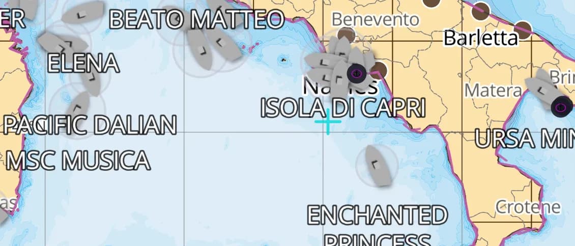
Popular sailing destinations
Where this region's sailors actually drop anchor.
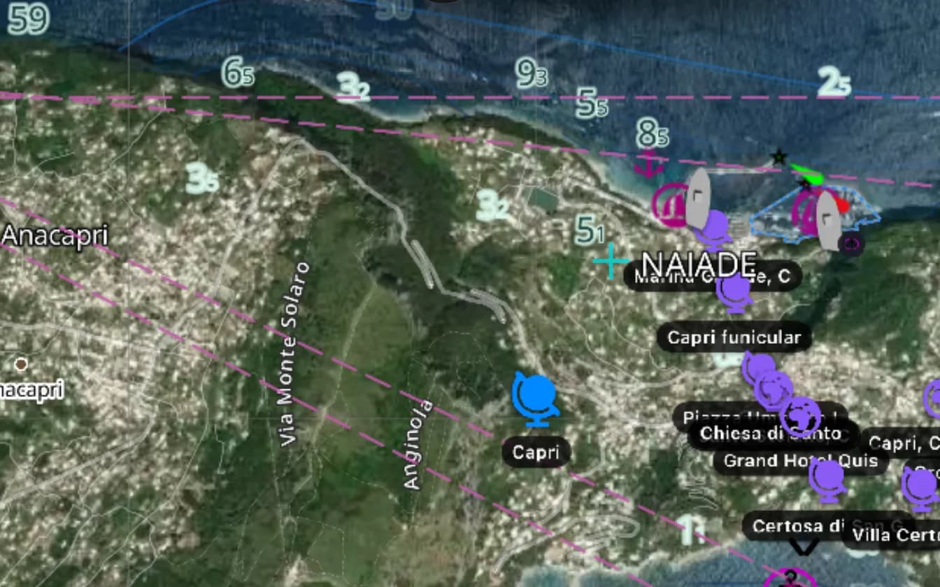
Amalfi Coast & Capri
Positano, the Faraglioni and the Blue Grotto — glamorous, deep, and tight on anchorages in August.

Croatia — the Dalmatian coast
Hvar, Korčula and the Kornati maze — Europe's densest island cruising, watch for the bora.
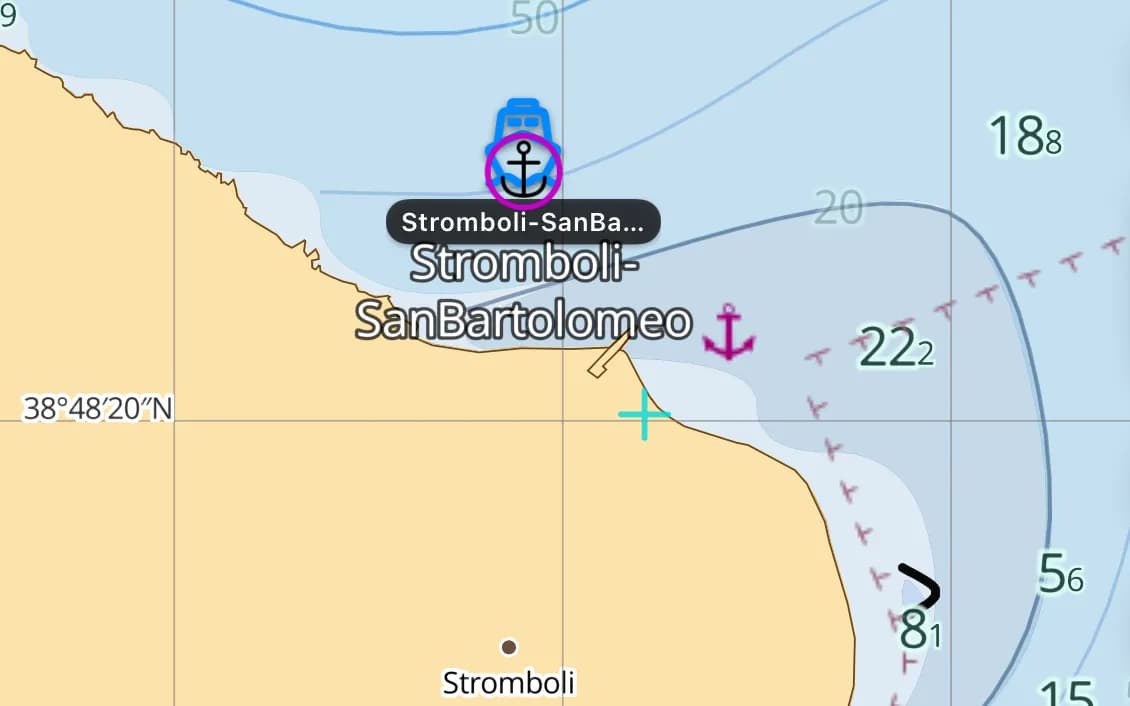
The Aeolian Islands
Stromboli's nightly fireworks and Panarea's chic anchorages, off Sicily's north coast.
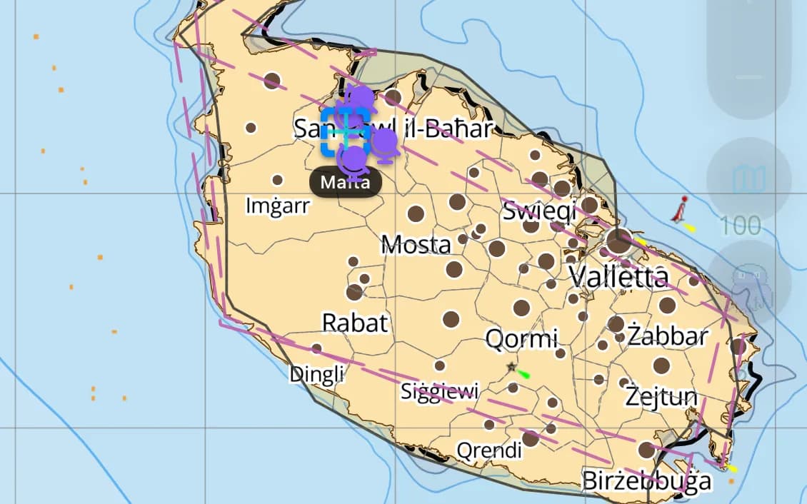
Malta & Gozo
Limestone harbours, the Blue Lagoon, and a crossroads of the Med.
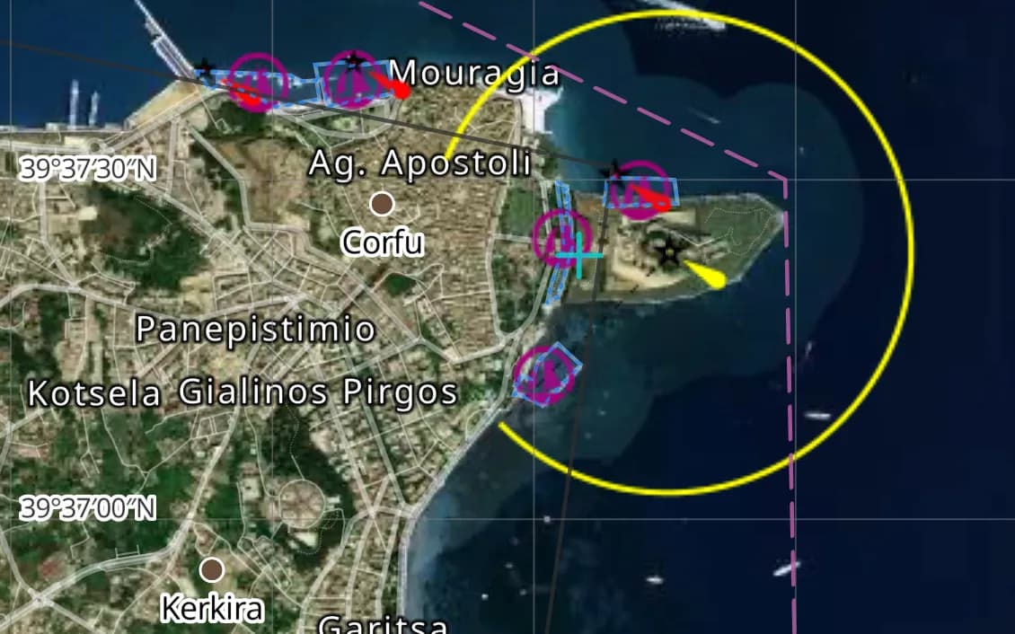
The Ionian — Corfu & Lefkada
Gentle winds and short hops — the Med's friendliest first-charter ground.
Popular harbours & anchorages
A few of the spots Central Mediterranean sailors cruise — all charted in the pack.
- Amalfi
- Capri
- The Aeolians
- Stromboli
- Panarea
- Hvar
- Split
- The Kornati
- Dubrovnik
- Kotor
- Valletta
- Corfu
- Lefkada
- Syracuse
Cruising Central Mediterranean
The Central Mediterranean is two seas in one: the Tyrrhenian, with the Amalfi Coast and the smoking Aeolian volcanoes, and the Adriatic, where Croatia's thousand islands form the densest cruising maze in Europe. Summer brings the bora — a cold katabatic wind that can rise to gale force off the Croatian coast with little warning — and the Ionian's gentler airs draw flotillas to Corfu and Lefkada. This region covers mainland Italy, Sicily, Malta, the Croatian and Montenegrin coasts, and the Ionian islands.
What’s inside the Central Mediterranean pack
Every layer our chart pipeline bakes for this region — yours for $14.99/year.
Nautica Day & Night charts
S-52 vector cartography styled for daylight and night watches.
Depth-aware routing
Route planning that respects your draft and the charted depths.
Seabed & holding
Charted seabed type and holding quality from S-57 substrate — know what you’re anchoring into.
Soundings & depth contours
Spot depths and contours across the whole region.
Tides & currents
Tidal heights and streams, bundled in.
Rocks, wrecks & hazards
Charted obstructions so you can plan a clean approach.
Harbours & anchorages
Marinas, harbours and anchorages along the coast.
Lights, buoys & beacons
Charted navaids with their light characteristics.
Fully offline
Download once over wifi; navigate with no signal.
Sources & accuracy
The Central Mediterranean pack is built from EMODnet 2022 + OSM SeaMarks, fused with community-verified rocks, wrecks and navaids. EMODnet Bathymetry 2022 · © OpenStreetMap contributors (ODbL)
- High-res bathymetry
- 821 × 1,035 NM
- 620 MB
Anchoring in Central Mediterranean
AnchorQueen is an anchor-watch app first. Every Central Mediterranean chart carries seabed type and holding quality from official survey data, so you read the bottom before you drop the hook — then the anchor alarm watches your swing while you sleep.
Auto-renewing, billed securely through your App Store account — no card forms, no separate logins. Cancel anytime.

On iPhone and iPad now — Android coming soon.
Cruising the whole app? Pro includes one region; Max includes three.
Questions
Does it cover Croatia and the Adriatic?
Yes — the whole Croatian and Montenegrin coast, the Italian Adriatic, plus the Tyrrhenian, Sicily, Malta and the Ionian islands.
Is the bora wind something the charts help with?
The charts and depth-aware routing get you safely between shelter; pair them with the bundled weather so you can pick your crossings around the bora.
Does it work offline among the Croatian islands?
Yes — download once and charts, tides and routing work with no signal, which matters across the more remote Kornati and outer islands.