 Your Intelligent Co-Captain, Always on Watch
Australia — West charts — built for how you actually cruise
Cape Leeuwin to the Kimberley — reef, remote coast and enormous tides.
Popular sailing destinations
Where this region's sailors actually drop anchor.
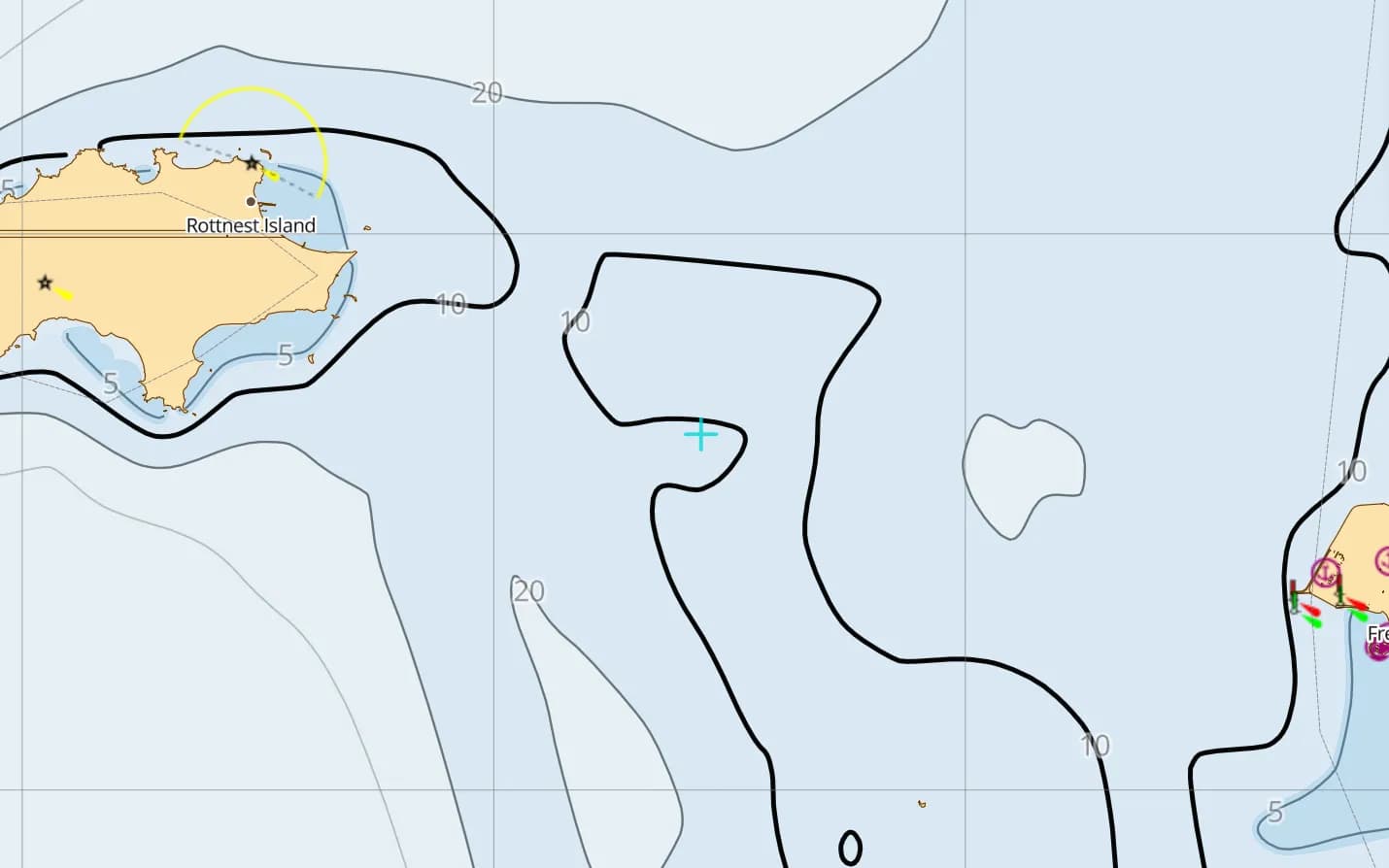
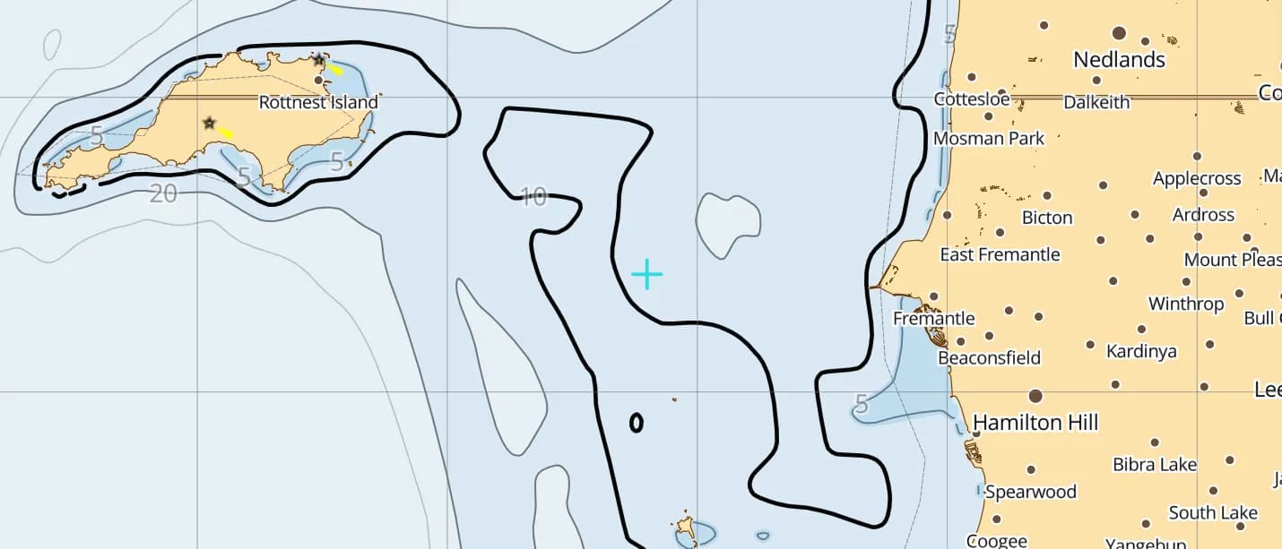
Fremantle & Rottnest Island
Perth's harbour and the island anchorages just offshore — sail out on the afternoon Fremantle Doctor.
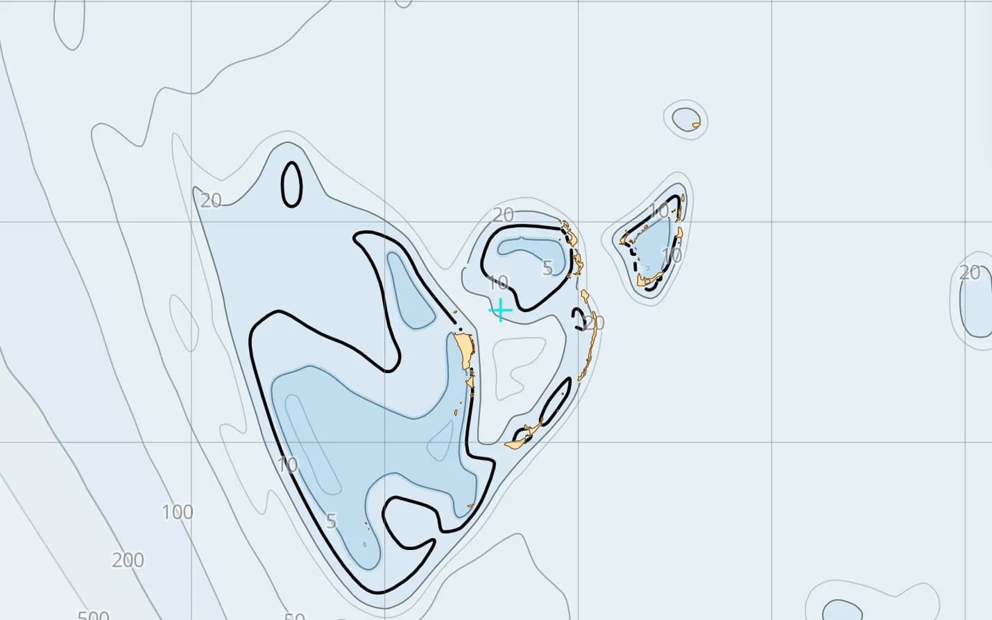
The Abrolhos Islands
Coral islands and reefs off Geraldton, strewn with historic wrecks — careful pilotage essential.
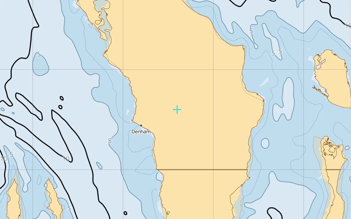
Shark Bay
World Heritage shallows, seagrass banks and dugongs — a bay where charted depth rules.
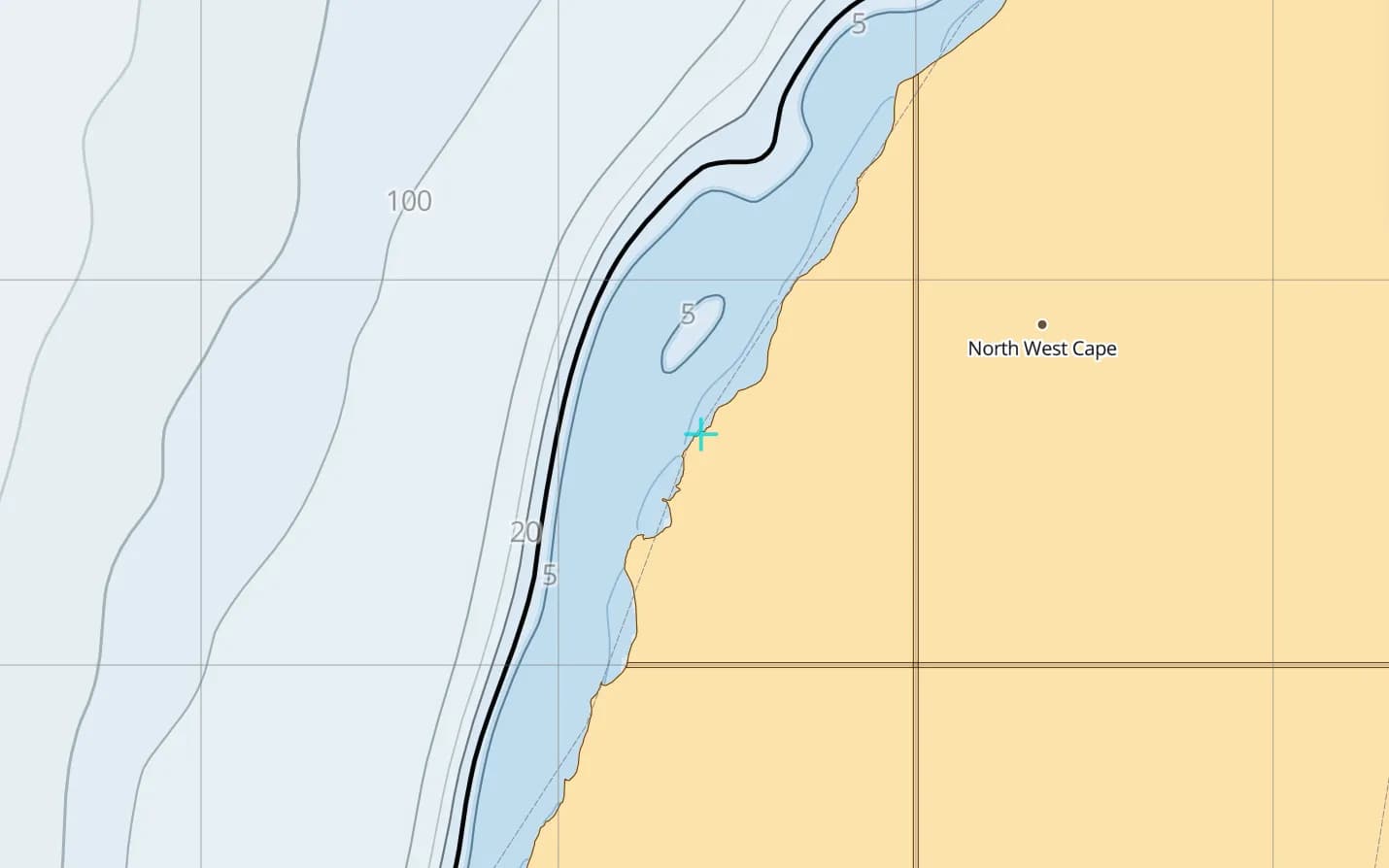
Exmouth & Ningaloo
A fringing reef close to shore — whale sharks, turtles and anchorages inside the lagoon.
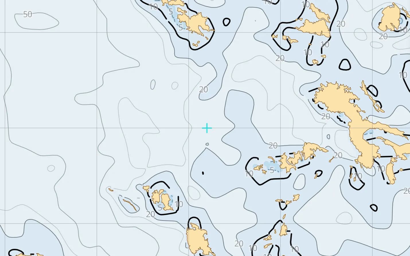
Broome & the Kimberley
The jump-off for the Kimberley's remote gorges, enormous tides and utterly empty coast.
Popular harbours & anchorages
A few of the spots Australia West sailors cruise — all charted in the pack.
- Fremantle
- Rottnest Island
- Mandurah
- Geographe Bay
- Albany
- Esperance
- Geraldton
- The Abrolhos Islands
- Shark Bay
- Exmouth
- Ningaloo Reef
- Dampier Archipelago
- Broome
- Buccaneer Archipelago
Cruising Australia West
Western Australia is a vast, lightly travelled coast: the afternoon sea breeze off Perth, coral islands and wrecks along the mid-west, Ningaloo's reef close inshore, and in the far north the Kimberley, where huge tides drive fierce currents through empty gorges. Distances are long, help is far away and the north has a summer cyclone season. This region is built on Geoscience Australia's AusBathyTopo 250 m grid, compiled from real surveys, with lights and community-mapped navaids. It covers Cape Leeuwin, Perth, Shark Bay, Ningaloo, the Pilbara and the Kimberley.
What’s inside the Australia West pack
Every layer our chart pipeline bakes for this region — yours for $14.99/year.
Nautica Day & Night charts
S-52 vector cartography styled for daylight and night watches.
Depth-aware routing
Route planning that respects your draft and the charted depths.
Seabed & holding
Charted seabed type and holding quality from S-57 substrate — know what you’re anchoring into.
Soundings & depth contours
Spot depths and contours across the whole region.
Tides & currents
Tidal heights and streams, bundled in.
Rocks, wrecks & hazards
Charted obstructions so you can plan a clean approach.
Harbours & anchorages
Marinas, harbours and anchorages along the coast.
Lights, buoys & beacons
Charted navaids with their light characteristics.
Fully offline
Download once over wifi; navigate with no signal.
Sources & accuracy
The Australia West pack is built from AusBathyTopo 250 m + OSM SeaMarks, fused with community-verified rocks, wrecks and navaids. Geoscience Australia AusBathyTopo (CC BY 4.0) · NGA List of Lights · © OpenStreetMap contributors (ODbL)
- High-res bathymetry
- 928 × 1,380 NM
- 630 MB
Anchoring in Australia West
AnchorQueen is an anchor-watch app first. Every Australia West chart carries seabed type and holding quality from official survey data, so you read the bottom before you drop the hook — then the anchor alarm watches your swing while you sleep.
Auto-renewing, billed securely through your App Store account — no card forms, no separate logins. Cancel anytime.

On iPhone and iPad now — Android coming soon.
Cruising the whole app? Pro includes one region; Max includes three.
Questions
How big are the Kimberley tides?
Among the largest in the world — spring ranges exceed 10 m in King Sound, driving fierce currents and whirlpools through narrow passages such as the Horizontal Falls. Plan every passage and anchorage around the tide.
Does it cover the Abrolhos and Shark Bay?
Yes — the Abrolhos, Shark Bay and Ningaloo, with the whole coast from Cape Leeuwin to the Kimberley.
Will it work on the remote northern coast?
Yes — fully offline once downloaded, which is the only option across most of the Pilbara and the Kimberley.