 Your Intelligent Co-Captain, Always on Watch
Australia — South & Tasmania charts — built for how you actually cruise
Bass Strait, Tasmania and the Gulfs — cool-water cruising on the Southern Ocean's edge.
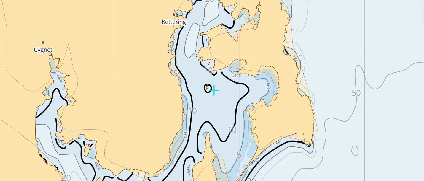
Popular sailing destinations
Where this region's sailors actually drop anchor.
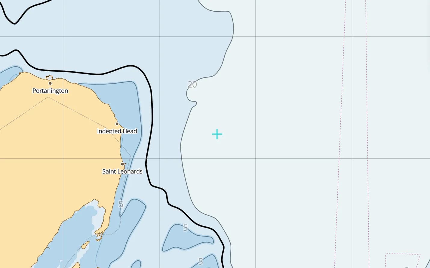
Port Phillip
Melbourne's huge bay, guarded by the Rip at the Heads — time your entry to the tide.
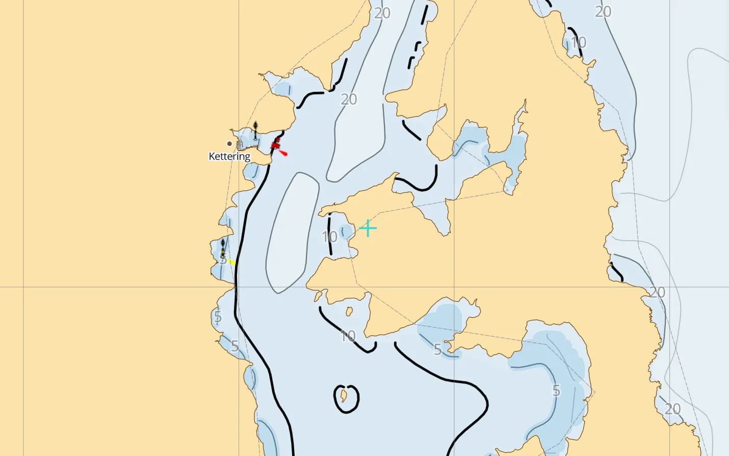
Hobart & the D'Entrecasteaux Channel
Tasmania's sheltered cruising heartland — Bruny Island coves a short sail from the city.
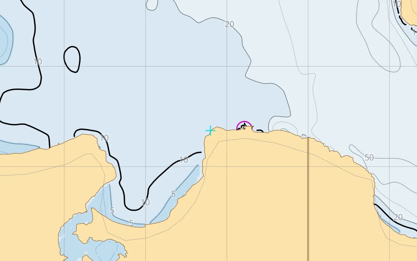
Kangaroo Island
Wild coast and quiet bays across Backstairs Passage from the mainland.
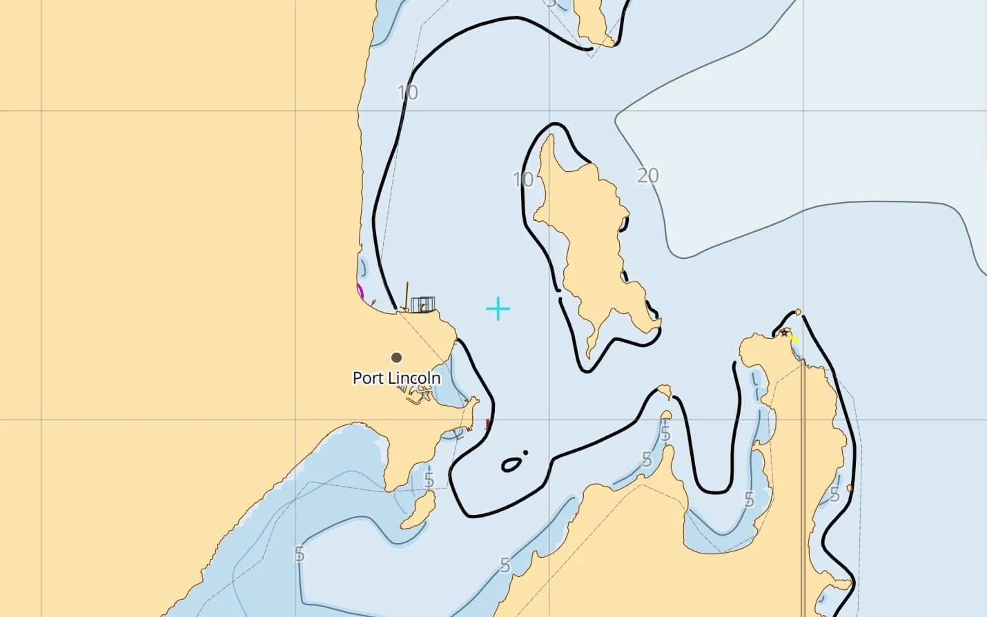
Port Lincoln & Spencer Gulf
The tuna town at the mouth of the Gulf, with the Sir Joseph Banks Group close by.
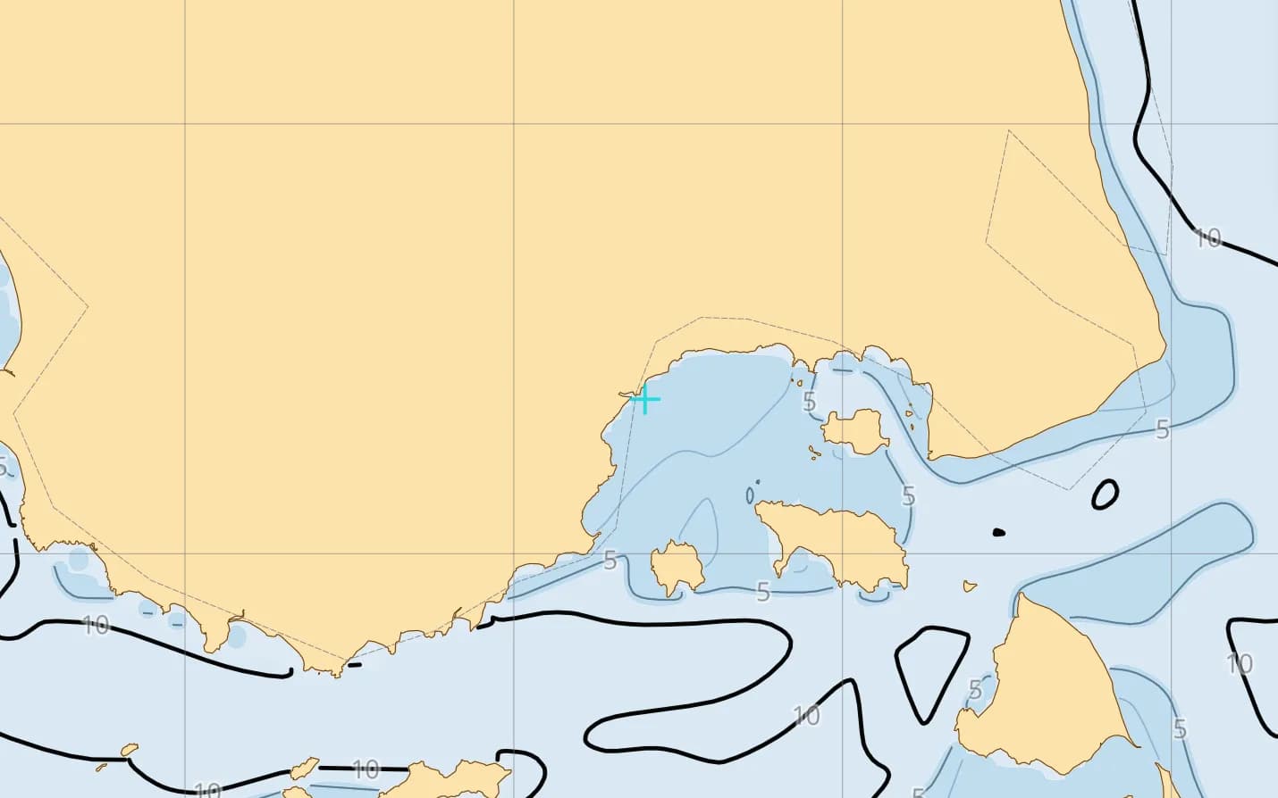
Flinders Island & the Furneaux Group
Granite islands in eastern Bass Strait — strong tides, few people and hard-won anchorages.
Popular harbours & anchorages
A few of the spots Australia South sailors cruise — all charted in the pack.
- Port Phillip
- Queenscliff
- Western Port
- Refuge Cove
- Hobart
- D'Entrecasteaux Channel
- Bruny Island
- Port Davey
- Maria Island
- Wineglass Bay
- Flinders Island
- Kangaroo Island
- Adelaide
- Port Lincoln
Cruising Australia South
Southern Australia is big-weather cruising: Bass Strait is shallow and quick to build a steep sea, westerly fronts roll in off the Southern Ocean, and harbour entrances like Port Phillip Heads demand careful tidal timing. The reward is Tasmania's sheltered channels, wild granite islands and gulfs with few boats in them. This region is built on Geoscience Australia's AusBathyTopo 250 m grid, compiled from real surveys, with lights and community-mapped navaids. It covers the Great Australian Bight, Spencer Gulf, Adelaide, Victoria, Bass Strait and Tasmania.
What’s inside the Australia South pack
Every layer our chart pipeline bakes for this region — yours for $14.99/year.
Nautica Day & Night charts
S-52 vector cartography styled for daylight and night watches.
Depth-aware routing
Route planning that respects your draft and the charted depths.
Seabed & holding
Charted seabed type and holding quality from S-57 substrate — know what you’re anchoring into.
Soundings & depth contours
Spot depths and contours across the whole region.
Tides & currents
Tidal heights and streams, bundled in.
Rocks, wrecks & hazards
Charted obstructions so you can plan a clean approach.
Harbours & anchorages
Marinas, harbours and anchorages along the coast.
Lights, buoys & beacons
Charted navaids with their light characteristics.
Fully offline
Download once over wifi; navigate with no signal.
Sources & accuracy
The Australia South pack is built from AusBathyTopo 250 m + OSM SeaMarks, fused with community-verified rocks, wrecks and navaids. Geoscience Australia AusBathyTopo (CC BY 4.0) · NGA List of Lights · © OpenStreetMap contributors (ODbL)
- High-res bathymetry
- 1,051 × 870 NM
- 477 MB
Anchoring in Australia South
AnchorQueen is an anchor-watch app first. Every Australia South chart carries seabed type and holding quality from official survey data, so you read the bottom before you drop the hook — then the anchor alarm watches your swing while you sleep.
Auto-renewing, billed securely through your App Store account — no card forms, no separate logins. Cancel anytime.

On iPhone and iPad now — Android coming soon.
Cruising the whole app? Pro includes one region; Max includes three.
Questions
How do I time the Rip at Port Phillip Heads?
The Rip runs hard and stands up steep, dangerous seas against an opposing swell or wind. Most skippers transit near slack water — check the local tide tables and plan the passage so you arrive on time.
Does it cover Tasmania's west coast?
Yes — the whole of Tasmania, including Port Davey and Macquarie Harbour on the exposed west coast, plus Bass Strait and the Furneaux Group.
Will it work in Bass Strait with no signal?
Yes — fully offline once downloaded, which is what you need mid-strait and down Tasmania's wild coasts.