 Your Intelligent Co-Captain, Always on Watch
Australia — East & Great Barrier Reef charts — built for how you actually cruise
Torres Strait to Sydney — the Great Barrier Reef, reefs and zoning mapped.
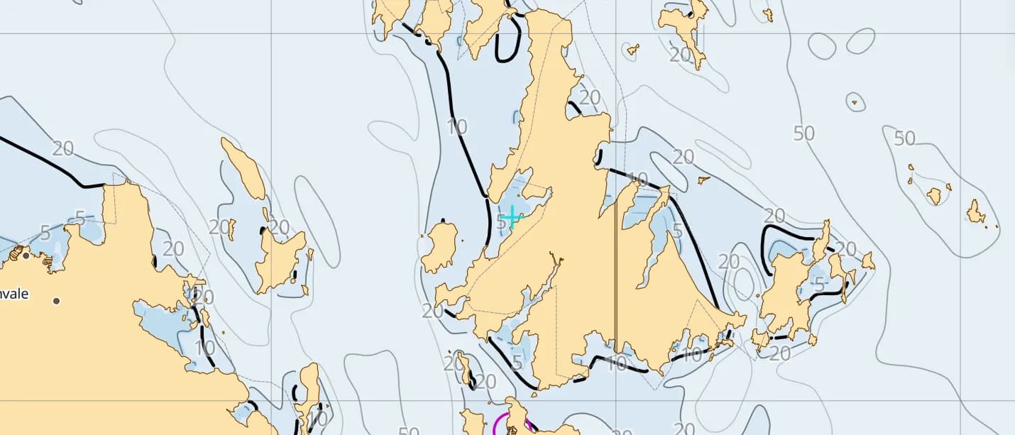
Popular sailing destinations
Where this region's sailors actually drop anchor.
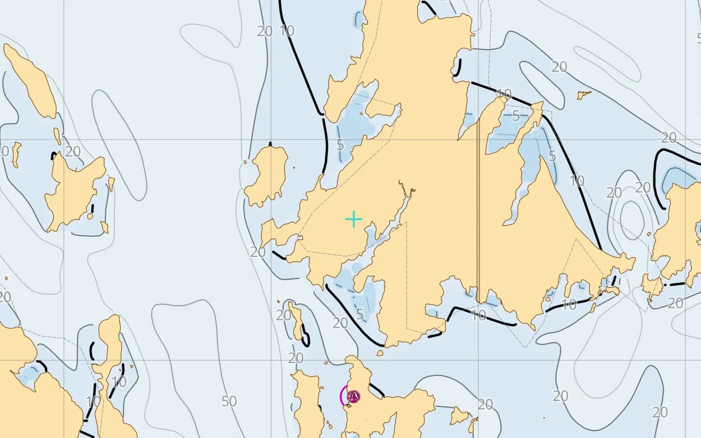
The Whitsunday Islands
Seventy-four islands inside the reef — sheltered bays, Whitehaven Beach and Australia's busiest charter base.
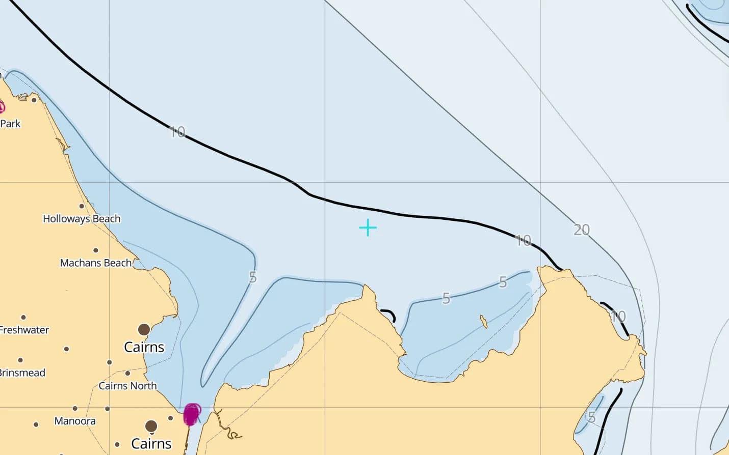
Cairns & Lizard Island
Outer-reef day hops, then the reef-lined run north to Lizard's clear-water anchorage.
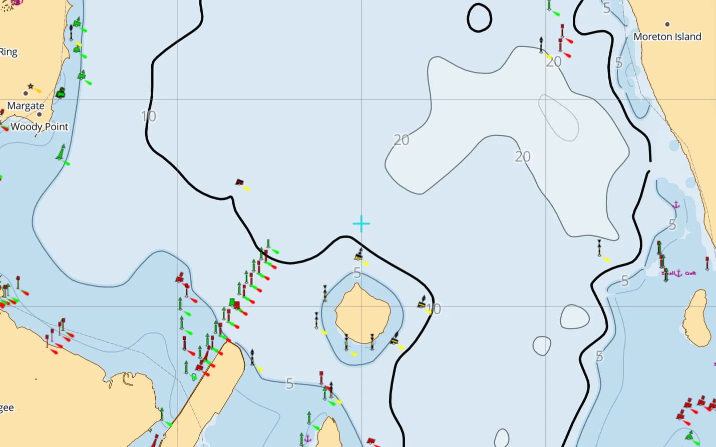
Moreton Bay
Brisbane's big sandy bay — shifting banks, marked channels and island anchorages off Moreton and Stradbroke.
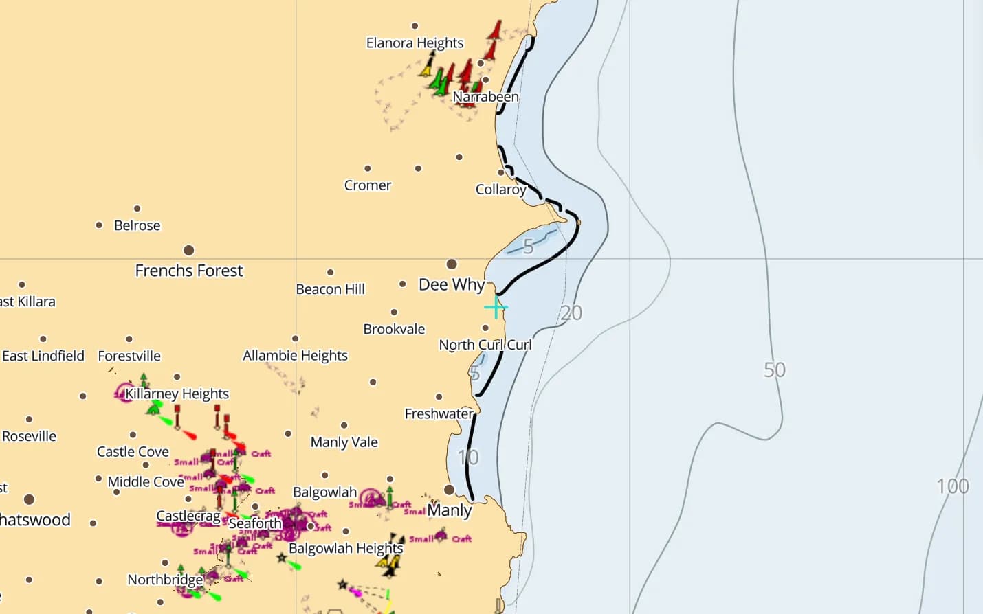
Sydney Harbour & Pittwater
One of the world's great harbours, with Pittwater's sheltered moorings a short hop north.
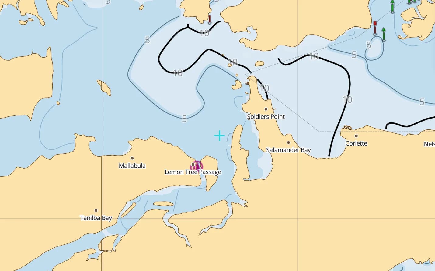
Port Stephens
A large, sheltered port north of Newcastle — dolphins, quiet anchorages and a safe haven on the coast.
Popular harbours & anchorages
A few of the spots Australia East & GBR sailors cruise — all charted in the pack.
- Thursday Island
- Lizard Island
- Port Douglas
- Cairns
- Hinchinbrook Island
- Magnetic Island
- Airlie Beach
- Hamilton Island
- Whitehaven Beach
- Great Keppel Island
- Lady Musgrave Island
- Great Sandy Strait
- Moreton Bay
- Pittwater
Cruising Australia East & GBR
Australia's east coast holds the world's largest reef system: more than 2,000 km of coral reefs, sand cays and continental islands, cruised on steady winter trade winds and closed down by the summer cyclone season. Reef pilotage and the river bars further south demand an accurate chart. This region is built on Geoscience Australia's AusBathyTopo 250 m grid — compiled from some 1,500 surveys — with lights, 4,222 reef and rock features from the Marine Park Authority and the park's zoning. It covers Torres Strait, Cape York, the Great Barrier Reef, the Coral Sea, Brisbane, Sydney and eastern Bass Strait.
What’s inside the Australia East & GBR pack
Every layer our chart pipeline bakes for this region — yours for $14.99/year.
Nautica Day & Night charts
S-52 vector cartography styled for daylight and night watches.
Depth-aware routing
Route planning that respects your draft and the charted depths.
Seabed & holding
Charted seabed type and holding quality from S-57 substrate — know what you’re anchoring into.
Soundings & depth contours
Spot depths and contours across the whole region.
Tides & currents
Tidal heights and streams, bundled in.
Rocks, wrecks & hazards
Charted obstructions so you can plan a clean approach.
Harbours & anchorages
Marinas, harbours and anchorages along the coast.
Lights, buoys & beacons
Charted navaids with their light characteristics.
Fully offline
Download once over wifi; navigate with no signal.
Sources & accuracy
The Australia East & GBR pack is built from AusBathyTopo 250 m + GBRMPA + OSM SeaMarks, fused with community-verified rocks, wrecks and navaids. Geoscience Australia AusBathyTopo (CC BY 4.0) · GBRMPA · NGA List of Lights · © OpenStreetMap contributors (ODbL)
- High-res bathymetry
- 767 × 1,800 NM
- 726 MB
Anchoring in Australia East & GBR
AnchorQueen is an anchor-watch app first. Every Australia East & GBR chart carries seabed type and holding quality from official survey data, so you read the bottom before you drop the hook — then the anchor alarm watches your swing while you sleep.
Auto-renewing, billed securely through your App Store account — no card forms, no separate logins. Cancel anytime.

On iPhone and iPad now — Android coming soon.
Cruising the whole app? Pro includes one region; Max includes three.
Charter a boat in Australia East & GBR
Charter bases inside this chart pack — compare boats and check live availability.
Questions
Are the reefs and Marine Park zones shown?
Yes — 4,222 reef and rock features from the Great Barrier Reef Marine Park Authority are included, along with the park's zoning. Coral grows and sand cays move, so read the water in good light on the final approach.
Does it cover Sydney and the New South Wales coast?
Yes — the coast from Brisbane south past Sydney to eastern Bass Strait, including Pittwater, Port Stephens and the harbours between.
Will it work inside the reef with no signal?
Yes — fully offline once downloaded, which is the norm north of Cairns and out on the reef.