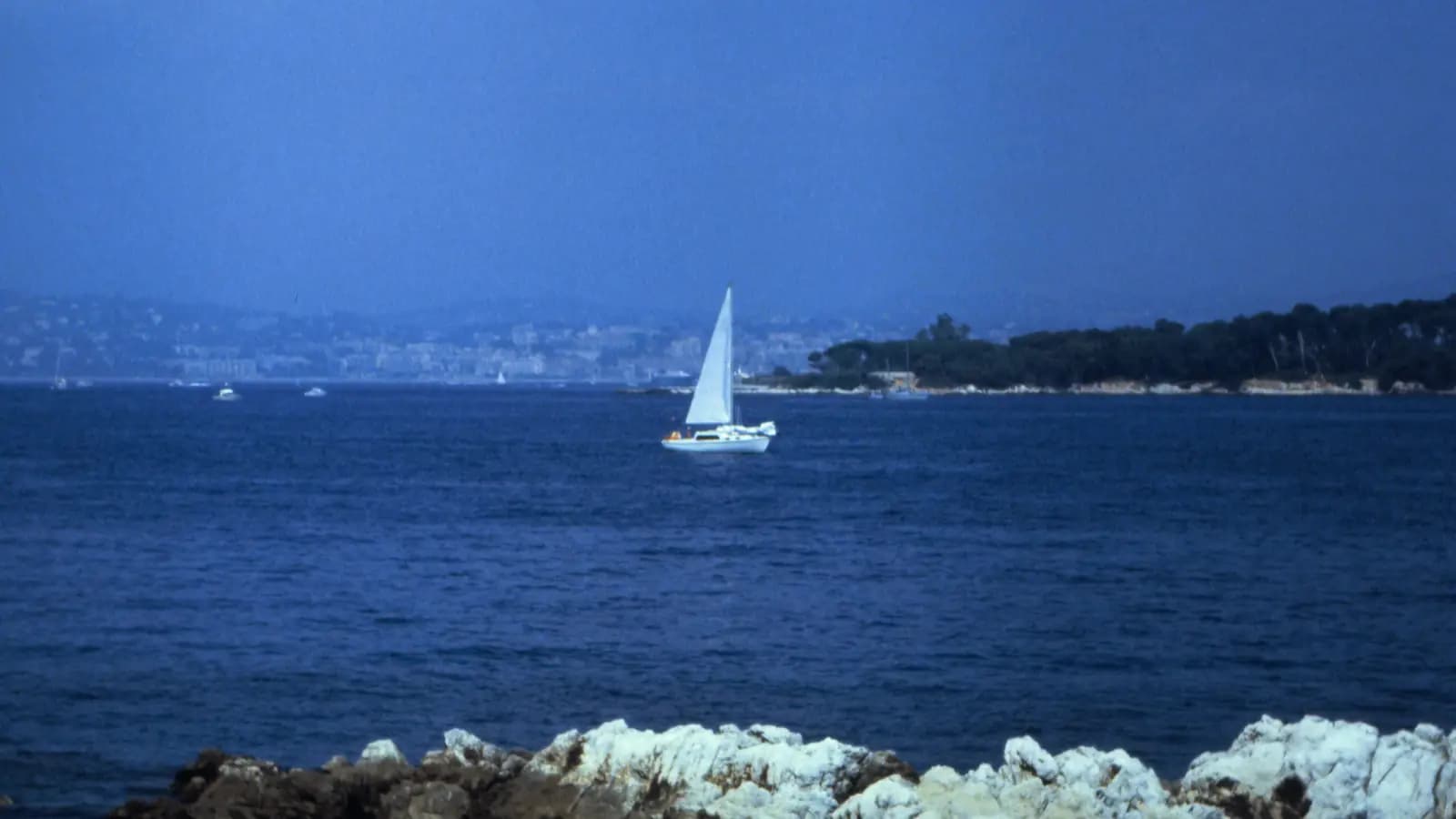
In Cannes for the Yachting Festival? Stay a week.
Cannes sits at the top of one of the easiest cruising grounds in the Mediterranean. The Lérins Islands are fifteen minutes out of the harbour. To the east are the sandy bays of Golfe-Juan and Cap d’Antibes; to the west the red cliffs of the Esterel run down to Agay, and a day beyond that is the Gulf of Saint-Tropez and the long beach at Pampelonne.
The hops are short, the anchorages are close together, and you are rarely more than a few miles from a harbour. What takes planning is the rulebook: much of this coast is protected seagrass, several bays now have managed mooring zones, and the rules depend on your boat’s length. Get those right and this is a relaxed week of swimming stops, island walks and harbour towns.
The route at a glance
You start with a short hop to the Lérins Islands, then go east around Golfe-Juan to the Anse de la Garoupe on Cap d’Antibes. From there the route turns west across the Golfe de la Napoule and along the Esterel to the bay of Agay, then on to the Gulf of Saint-Tropez. After a morning in Saint-Tropez you round the cape to Pampelonne, and the way home runs back along the Esterel to Théoule, with a last stop at Saint-Honorat before Cannes.
Distances are approximate, measured along a typical track for a 40-foot sailboat at 6 knots. Your own track will differ.
| Quick facts | |
|---|---|
| Total distance | About 77 nm in seven legs, from 3 to 22 nm a day |
| Sailing time | About 13 hours at 6 knots |
| Best season | Late spring and September. The Lérins mooring zone runs from 1 May to 30 September. |
| Difficulty | Easy to intermediate: short coastal hops, one longer day, mistral to watch |
| Boat length matters | Many rules here change at 20 m or 24 m overall length; the itinerary assumes a boat under 20 m |
| Charts and weather | Up-to-date SHOM charts, local notices, Météo-France coastal bulletins |
| Fees (checked October 2026) | Lérins mooring zone free, on declaration; Fort Royal museum €6.50; Agay buoys and La Rague berths on each port’s current tariff |
| Radio | Port du Moure Rouge (Lérins zone) VHF 9; Port de la Rague VHF 9; emergencies VHF 16 or 196 by phone |
Things to know
Seagrass and anchoring
The pale sand patches you anchor in are often surrounded by Posidonia meadows, the seagrass that keeps this water clear. Posidonia has been protected in France since 1988, and the maritime prefecture’s orders now ban anchoring on it for larger boats: in the Alpes-Maritimes the threshold is 24 m, and several bays have their own lower limits or no-anchoring zones. Whatever your size, drop on sand, not on grass, and use the mooring buoys where they exist.
Mooring zones
The busiest anchorages now have managed mooring zones (ZMEL, in French). Between the Lérins Islands, at Agay and at Pampelonne you pick up a buoy instead of anchoring, under rules set by each town or port. Some are free on declaration, others are paid and bookable, and each has its own season and length limits. The details for each stop are in the day-by-day section below.
The 300-metre band
Along the French Mediterranean coast the 300 m strip off the beaches is reserved mainly for swimmers in summer. Speed is limited to 5 knots, and buoyed swimming zones are closed to boats. Use the marked access channels to reach the shore by dinghy.
Weather and the mistral
Summer days are usually settled, with a light sea breeze in the afternoon. The wind to plan around is the mistral, the northwest wind that comes down the Rhône valley. On the Var coast it blows from the west and can last for several days; it is strongest in winter and spring but can turn up in any month. Météo-France broadcasts coastal forecasts on VHF out to 20 nm. Plan the longer legs, and the Saint-Tropez anchorages, for a settled window.
Day 1: Cannes to the Lérins Islands
Leg: Vieux Port → Plateau du Milieu, between Sainte-Marguerite and Saint-Honorat · about 3 nm
Leave the Vieux Port, pass the pointe de la Croisette and head south to the channel between the two islands, the Plateau du Milieu. The City of Cannes runs a mooring zone here from 1 May to 30 September: 30 buoys for boats of 6 to 20 m, inside a 43-hectare area where anchoring is not allowed. Under the 2025 police order it is free, but you must declare your stay to the Port du Moure Rouge (VHF 9, or +33 4 93 94 37 71), stay no more than seven nights in a row and 21 in the season, and leave the buoy by noon on your departure day.
Outside the season, or if the buoys are full, guides describe the southwest side of Sainte-Marguerite as a good fair-weather anchorage in 3–6 m on sand. Keep clear of the seagrass and of the marked no-anchoring zones on the northwest side of Sainte-Marguerite and south of Saint-Honorat.
Ashore: Sainte-Marguerite is about 3.2 km long and covered in pine and eucalyptus. Walk to the Fort Royal, where the Man in the Iron Mask was held; the museum ticket is reported at €6.50. Smoking and drones are banned on both islands.
Swim: off the south shore of Sainte-Marguerite, the Cannes underwater eco-museum has six statues by Jason deCaires Taylor, between 84 and 132 m from shore in 3–5 m of water. The area is a marked protected zone: swim or snorkel to it, do not anchor over it.
Local tip: jet skis are banned between the islands, and the access channels are limited to 5 knots.
Day 2: Golfe-Juan and the Anse de la Garoupe
Leg: Lérins → Golfe-Juan → Anse de la Garoupe, Cap d’Antibes · about 8 nm
Head east across the Golfe-Juan bay. Napoleon landed on this beach on 1 March 1815 on his return from Elba. Part of the bay is a protected zone with anchoring restrictions, so check the chart before you stop for lunch, or take a berth in one of the two harbours.
In the afternoon round the Pointe de l’Îlette onto the east side of Cap d’Antibes and into the Anse de la Garoupe. The bay has sand in about 5–10 m and good shelter from the west and northwest, but it is open to the east and south. Under the Antibes order, boats over 20 m may not anchor here; smaller boats may, with holding tanks, using their anchor only, and at no more than 5 knots.
Ashore: take the dinghy to the beach and walk up the coastal path, or climb to the Garoupe lighthouse and chapel for the view back over the Lérins and the Esterel.
Local tip: if an easterly is forecast, move round to the west side of the cape for the night.
Day 3: Along the Esterel to Agay
Leg: Garoupe → Golfe de la Napoule → Cap Roux → Rade d’Agay · about 16 nm
The day starts with a reach west across the Golfe de la Napoule. Past Théoule the coast turns red: the Esterel massif is volcanic rhyolite, and its cliffs and inlets run all the way to Agay. Cap Roux, at 452 m, is the high point you see from the water.
The Rade d’Agay is a deep, well-sheltered bay below the red rock of the Rastel d’Agay. Ports de Saint-Raphaël runs a mooring zone here with screw anchors for boats up to 16 m; contact the harbour office before you pick up a buoy, and check the current tariff and season on their website. Anchoring is not allowed in the 300 m band on the east and north sides of the bay, and sailing, jet skis and fishing are not allowed inside the mooring areas.
Ashore: the village has a beach, cafés and a small harbour, and the coastal path leads out to the headlands.
Local tip: the Esterel coast has many tempting inlets. Most are deep close in and some are rocky, so go in slowly with someone on the bow.
Day 4: Agay to the Gulf of Saint-Tropez
Leg: Agay → Cap du Dramont → Gulf of Saint-Tropez → Baie des Canebiers · about 15 nm
Leave Agay past Cap du Dramont and the small red Île d’Or with its tower, then cross the Gulf of Fréjus and round into the Gulf of Saint-Tropez. The Baie des Canebiers, on the north shore of the peninsula just west of the town, is the usual anchorage.
The gulf has its own anchoring rules. Boats of 24 m and over must stay outside a line drawn on the prefecture’s charts, and the Port de Saint-Tropez publishes a summary of the current orders and penalties. Smaller boats anchor on sand, clear of the seagrass and the swimming zones.
Ashore: take the dinghy round to the old port in the evening. The harbour is busy in season; if you want a berth rather than an anchorage, book well ahead.
Local tip: the gulf is exposed to the east and, in a mistral, gusty. Check the forecast before you settle in for the night.
Day 5: Saint-Tropez and Pampelonne
Leg: Baie des Canebiers → Cap de Saint-Tropez → Baie de Pampelonne · about 5 nm
Spend the morning ashore. On Tuesday and Saturday mornings there is a market on the Place des Lices, roughly 8:00 to 13:00. The Citadel above the town houses a museum of the maritime history of Saint-Tropez, with a view over the whole gulf.
In the afternoon round the cape to Pampelonne, the long sandy bay on the Ramatuelle side. A managed mooring zone opened here in July 2025, with 210 moorings for boats up to 80 m, operating from 1 April to 31 October. Smaller boats may still anchor on sand where there is no seagrass; boats of 24 m and over call Pampelonne Mooring on VHF 77.
Swim: the water off Pampelonne is shallow and sandy for a long way out, and the swimming zones are buoyed. Use the marked channels to reach the beach.
Local tip: Pampelonne is open to the east. In an easterly swell, the Baie des Canebiers or a harbour berth is the more comfortable night.
Day 6: Back along the coast to Théoule
Leg: Pampelonne → Esterel coast → Port de la Rague, Théoule-sur-Mer · about 22 nm
The longest leg of the week, back northeast along the coast you came down. Start early to have the morning breeze and to arrive before the afternoon rush. If the mistral is blowing, this is the day to move.
Port de la Rague sits at the foot of the Esterel, between Théoule-sur-Mer and Mandelieu-la-Napoule. It has 423 berths, 104 of them for visitors. Call the harbour office on VHF 9 or +33 4 93 93 64 60 before you arrive.
Ashore: restaurants on the quay, and a coastal path along the Esterel towards Théoule.
Extension: with two more days, go west from Pampelonne instead to Porquerolles, about 27 nm, in the Port-Cros National Park. The park has its own rules: 5 knots in the 300 m band and 3 knots in the harbour, no anchoring for boats over 24 m in the rade d’Hyères, no discharges, and some zones closed to anchoring. Check the park’s current marine rules before you go.
Day 7: Saint-Honorat and back to Cannes
Leg: Port de la Rague → Saint-Honorat → Cannes Vieux Port · about 8 nm
A short last day, with a stop on the way home. Saint-Honorat, about 1.5 km long, has belonged to a community of monks since the 5th century and is still a working monastery. The small monks’ harbour on the north side accepts visiting boats for up to six hours in any 24, and the north side is the fair-weather anchorage. Visitors land at the small pontoon on the north shore; swimming is not allowed there.
Ashore: walk round the island through the vines, visit the abbey and the fortified monastery on the shore, and stop at the monastery shop, which sells the monks’ own wine.
In the late afternoon motor back across to Cannes. If you are returning to the Vieux Port, call ahead for a berth.
Planning it in AnchorQueen
On the web, see what the Western Mediterranean charts cover, how anchor watch works, or read our independent Cannes Yachting Festival visitor guide.
A short safety note
AnchorQueen is a planning and situational-awareness aid. It does not replace SHOM charts, local notices to mariners, posted signs, your instruments or your own seamanship. The mooring zones and anchoring rules on this coast change from season to season, and the figures here are reported or approximate. Fees and rules were checked in October 2026; confirm them with the port or town before you go. In an emergency, call on VHF 16 or dial 196.