 Your Intelligent Co-Captain, Always on Watch
Mexico — Sea of Cortez charts — built for how you actually cruise
La Paz to Bahía de los Ángeles — desert islands and empty anchorages.
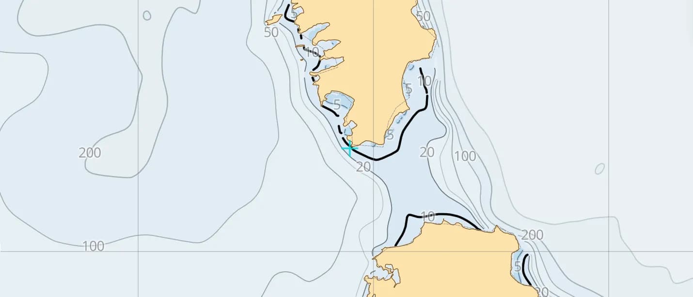
Popular sailing destinations
Where this region's sailors actually drop anchor.
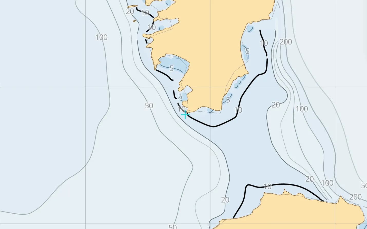
La Paz & Espíritu Santo
The Sea's cruising capital — Espíritu Santo's red-rock coves lie a short sail from the malecón.
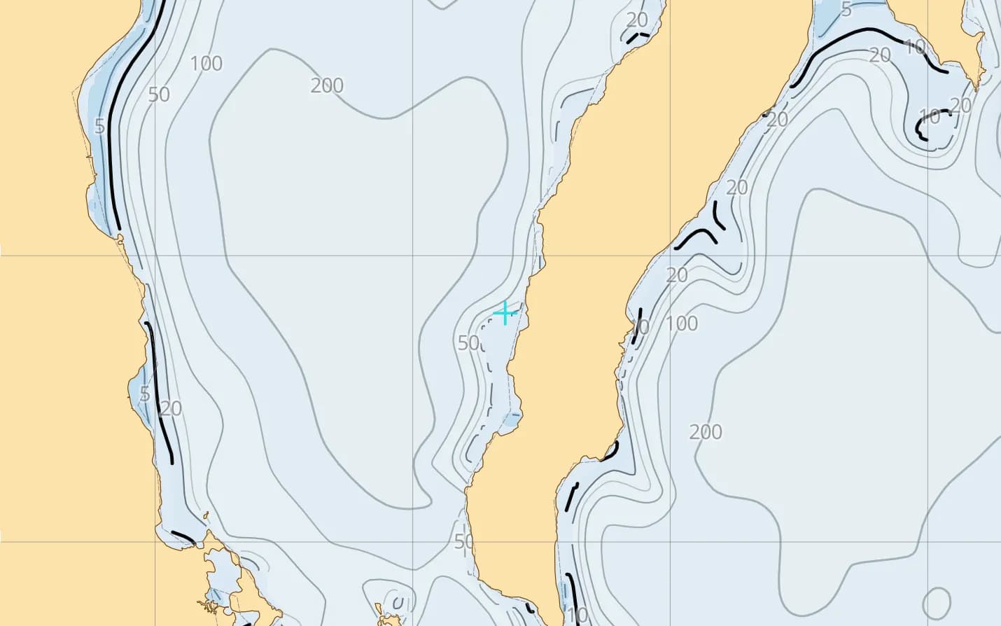
Loreto & Bahía Concepción
Puerto Escondido's snug harbour, the Loreto islands, and Concepción's long, sheltered bay.
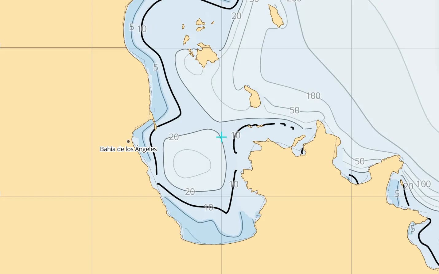
Bahía de los Ángeles
Remote Midriff anchorages among scattered islands — few services, strong currents and big whales.
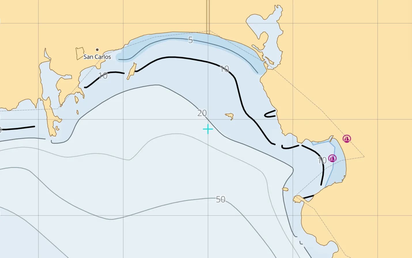
San Carlos & Guaymas
The mainland side's boatyards and summer storage — the usual jump-off for crossing to Baja.
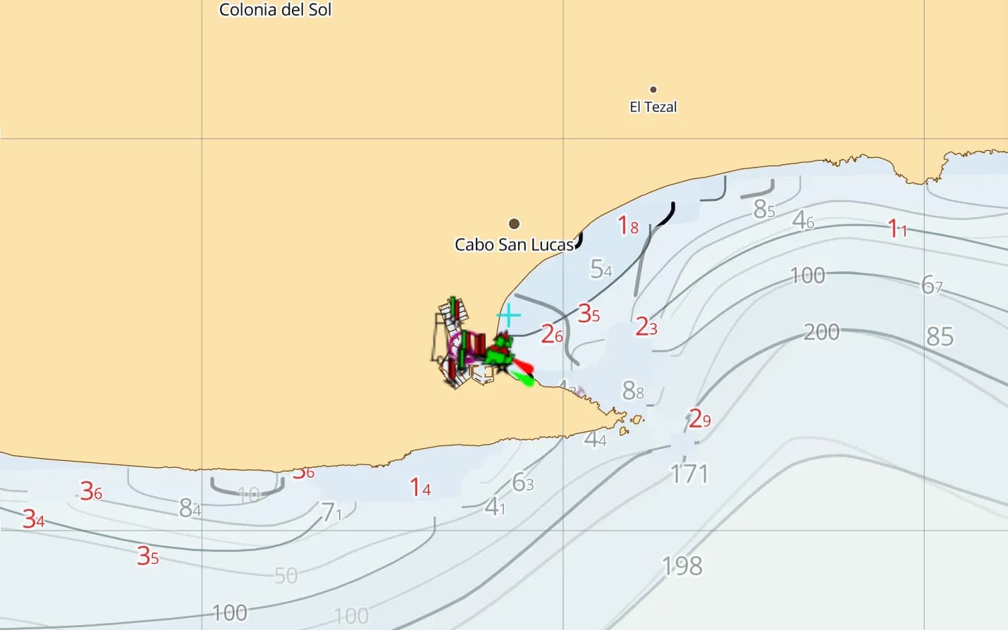
Cabo San Lucas
Landfall at the tip of the peninsula after the Pacific run — and the gateway into the Sea.
Popular harbours & anchorages
A few of the spots Sea of Cortez sailors cruise — all charted in the pack.
- La Paz
- Isla Espíritu Santo
- Isla San Francisco
- Puerto Escondido
- Loreto
- Bahía Concepción
- Santa Rosalía
- Bahía de los Ángeles
- San Carlos
- Guaymas
- Los Frailes
- Cabo San Lucas
- Bahía Magdalena
- Ensenada
Cruising Sea of Cortez
The Sea of Cortez is desert cruising at its purest: volcanic islands, turquoise coves and whale-rich channels running up the inside of Baja, with more anchorages than boats. It is remote and short on services, winter northers blow down the Sea for days, and summer brings heat, sudden squalls and hurricane risk. Depth comes from GMRT bathymetry, with community-mapped navaids, hazards and marinas — offline, where the fuel docks are far apart. This region covers the Baja California peninsula, the Sea of Cortez, Pacific Baja and the crossing from Cabo San Lucas to Mazatlán.
What’s inside the Sea of Cortez pack
Every layer our chart pipeline bakes for this region — yours for $14.99/year.
Nautica Day & Night charts
S-52 vector cartography styled for daylight and night watches.
Depth-aware routing
Route planning that respects your draft and the charted depths.
Seabed & holding
Charted seabed type and holding quality from S-57 substrate — know what you’re anchoring into.
Soundings & depth contours
Spot depths and contours across the whole region.
Tides & currents
Tidal heights and streams, bundled in.
Rocks, wrecks & hazards
Charted obstructions so you can plan a clean approach.
Harbours & anchorages
Marinas, harbours and anchorages along the coast.
Lights, buoys & beacons
Charted navaids with their light characteristics.
Fully offline
Download once over wifi; navigate with no signal.
Sources & accuracy
The Sea of Cortez pack is built from GMRT + OSM SeaMarks, fused with community-verified rocks, wrecks and navaids. GMRT · © OpenStreetMap contributors (ODbL)
- High-res bathymetry
- 667 × 630 NM
- 266 MB
Anchoring in Sea of Cortez
AnchorQueen is an anchor-watch app first. Every Sea of Cortez chart carries seabed type and holding quality from official survey data, so you read the bottom before you drop the hook — then the anchor alarm watches your swing while you sleep.
Auto-renewing, billed securely through your App Store account — no card forms, no separate logins. Cancel anytime.

On iPhone and iPad now — Android coming soon.
Cruising the whole app? Pro includes one region; Max includes three.
Charter a boat in Sea of Cortez
Charter bases inside this chart pack — compare boats and check live availability.
Questions
When is the Sea of Cortez season?
Most cruisers sail the Sea from late autumn to early summer. Hurricane season, roughly June to November, sends many boats to haul out at San Carlos or Guaymas, and winter northers mean picking anchorages with good northern shelter.
Does it cover the crossing to Mazatlán?
Yes — the Cabo San Lucas to Mazatlán crossing sits inside this region and overlaps the Mexico — Pacific region, so either chart carries you across.
Will it work in remote anchorages with no signal?
Yes — fully offline once downloaded, which is the reality across most of the Sea.