 Your Intelligent Co-Captain, Always on Watch
Mexico — Pacific charts — built for how you actually cruise
Mazatlán to Huatulco — warm winter cruising, open bays and Pacific swell.
Popular sailing destinations
Where this region's sailors actually drop anchor.
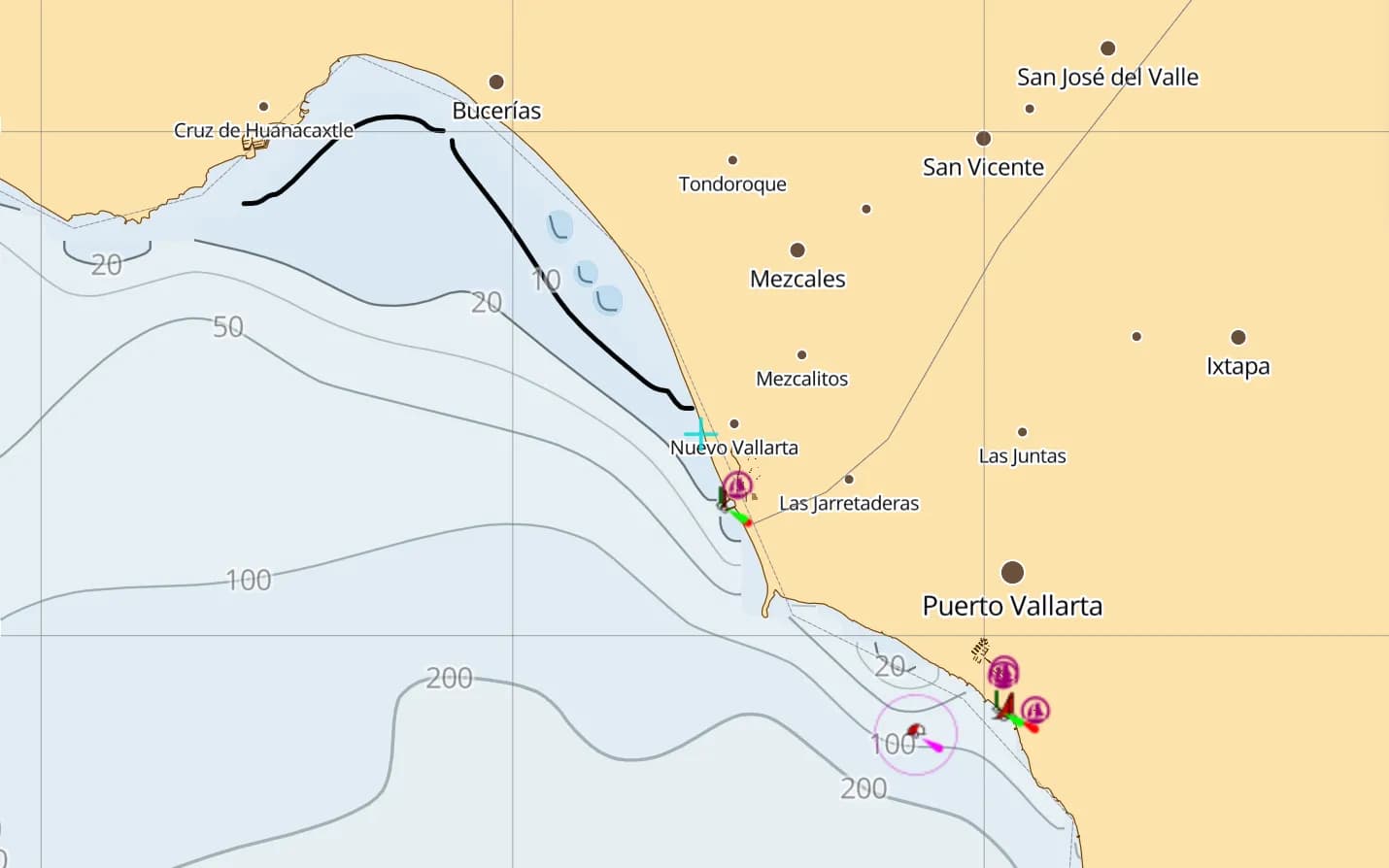
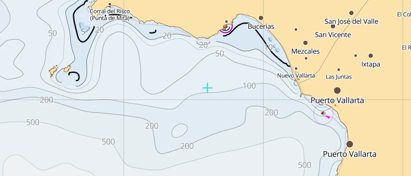
Banderas Bay — Puerto Vallarta & La Cruz
The coast's cruising hub — marinas, a reliable afternoon breeze and humpback whales in winter.
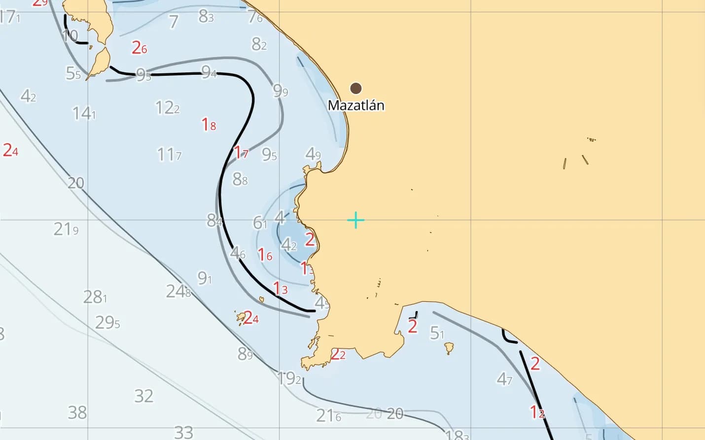
Mazatlán
The first mainland landfall from Baja — sheltered marinas and a historic old town worth the stop.
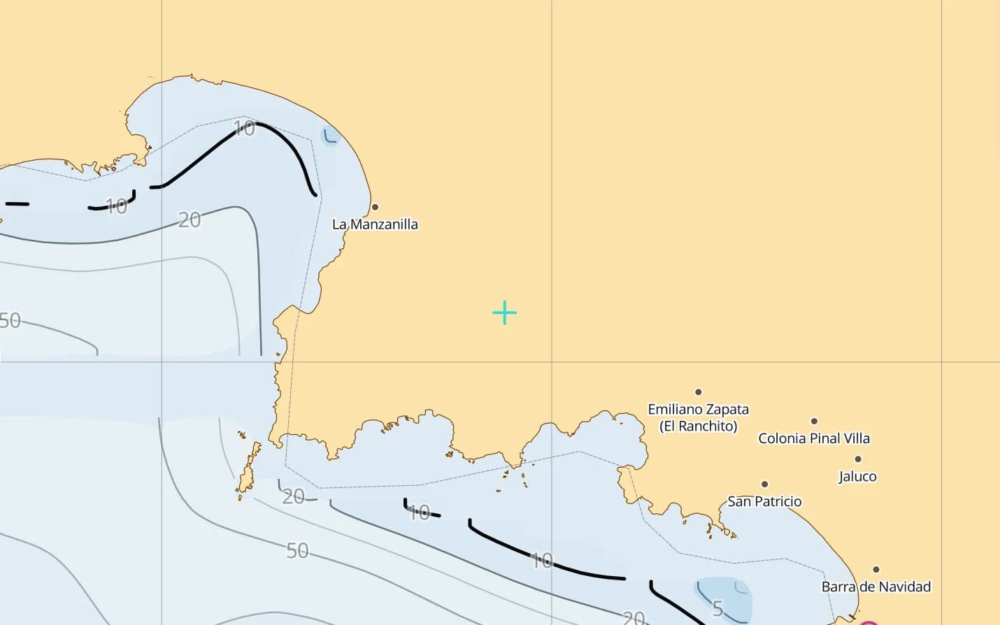
Barra de Navidad & Tenacatita
A shallow lagoon anchorage and a sheltered bay — the heart of the Costalegre winter season.
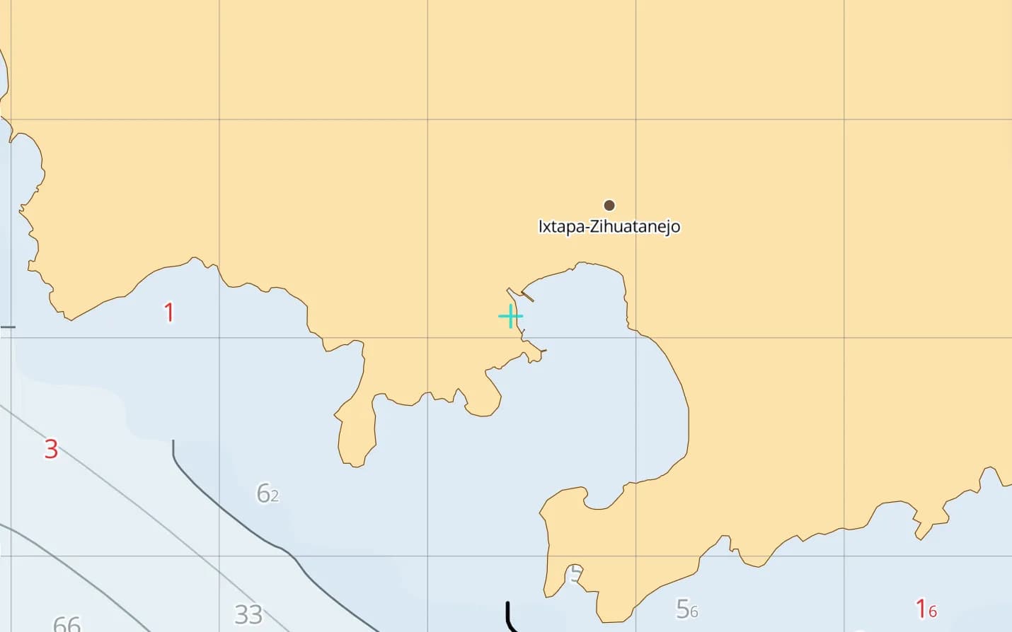
Zihuatanejo
A wide, protected bay with a fishing-town waterfront — the classic southern winter stop.
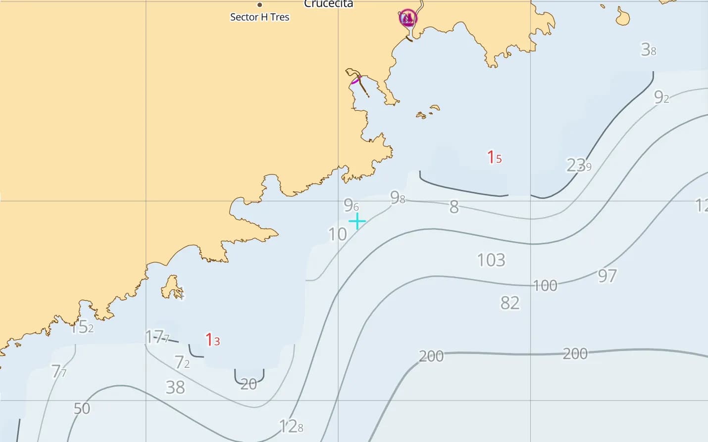
Huatulco
Nine bays at the southern end — the last stop before the Gulf of Tehuantepec.
Popular harbours & anchorages
A few of the spots Mexico Pacific sailors cruise — all charted in the pack.
- Mazatlán
- Isla Isabel
- San Blas
- Chacala
- Punta de Mita
- La Cruz de Huanacaxtle
- Puerto Vallarta
- Yelapa
- Tenacatita
- Barra de Navidad
- Manzanillo
- Zihuatanejo
- Acapulco
- Huatulco
Cruising Mexico Pacific
Mexico's mainland Pacific coast is the classic winter cruising ground: Banderas Bay's marinas, the palm-lined bays of the Costalegre and the old ports of the south, all under steady sunshine. The catch is the ocean — many anchorages are open roadsteads exposed to Pacific swell, lagoon entrances are shallow, and the Gulf of Tehuantepec breeds sudden gales. Depth comes from GMRT bathymetry, with community-mapped navaids, hazards and marinas, all offline. This region covers the mainland coast from Cabo San Lucas to Huatulco, Banderas Bay and the approaches.
What’s inside the Mexico Pacific pack
Every layer our chart pipeline bakes for this region — yours for $14.99/year.
Nautica Day & Night charts
S-52 vector cartography styled for daylight and night watches.
Depth-aware routing
Route planning that respects your draft and the charted depths.
Seabed & holding
Charted seabed type and holding quality from S-57 substrate — know what you’re anchoring into.
Soundings & depth contours
Spot depths and contours across the whole region.
Tides & currents
Tidal heights and streams, bundled in.
Rocks, wrecks & hazards
Charted obstructions so you can plan a clean approach.
Harbours & anchorages
Marinas, harbours and anchorages along the coast.
Lights, buoys & beacons
Charted navaids with their light characteristics.
Fully offline
Download once over wifi; navigate with no signal.
Sources & accuracy
The Mexico Pacific pack is built from GMRT + OSM SeaMarks, fused with community-verified rocks, wrecks and navaids. GMRT · © OpenStreetMap contributors (ODbL)
- High-res bathymetry
- 1,020 × 570 NM
- 172 MB
Anchoring in Mexico Pacific
AnchorQueen is an anchor-watch app first. Every Mexico Pacific chart carries seabed type and holding quality from official survey data, so you read the bottom before you drop the hook — then the anchor alarm watches your swing while you sleep.
Auto-renewing, billed securely through your App Store account — no card forms, no separate logins. Cancel anytime.

On iPhone and iPad now — Android coming soon.
Cruising the whole app? Pro includes one region; Max includes three.
Charter a boat in Mexico Pacific
Charter bases inside this chart pack — compare boats and check live availability.
Questions
How do I cross the Gulf of Tehuantepec?
Tehuantepec gales blow out from the isthmus with little warning, mostly in winter. Wait for a settled window and keep close inshore around the bay, so the fetch stays short if the wind arrives.
Does it cover Banderas Bay?
Yes — Puerto Vallarta, Nuevo Vallarta, La Cruz and Punta de Mita, plus the whole mainland coast north to Mazatlán and south to Huatulco.
Will it work offshore with no signal?
Yes — fully offline once downloaded, which matters on the long hops between ports.