
 Anchor Alarm
US East Coast & ICW charts — built for how you actually cruise
Maine to Florida and the whole Intracoastal Waterway — survey-grade vector charts.
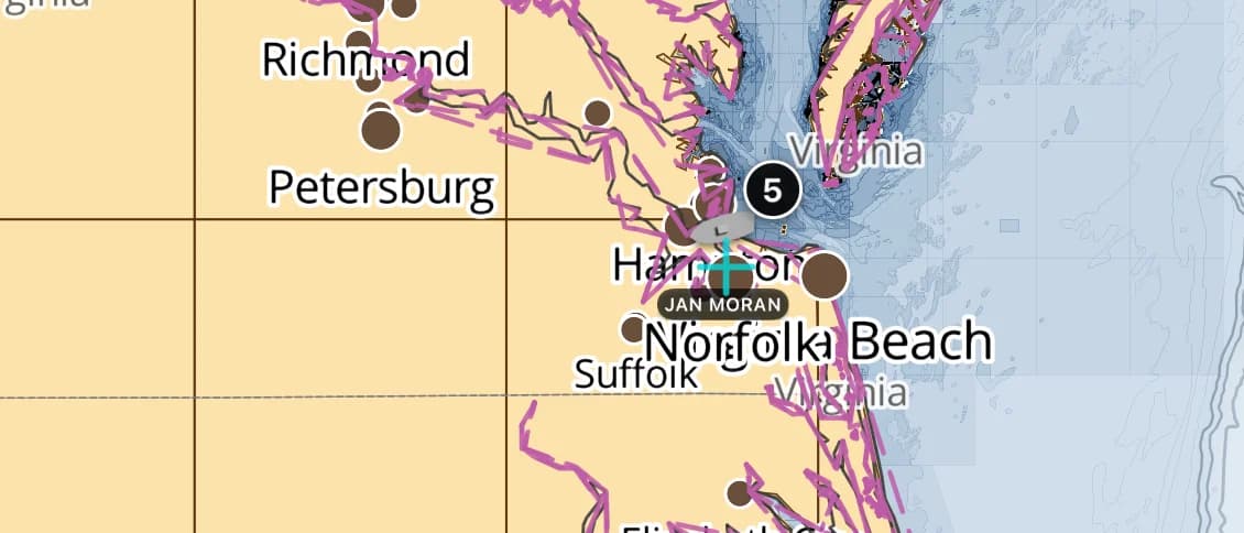
Popular sailing destinations
Where this region's sailors actually drop anchor.
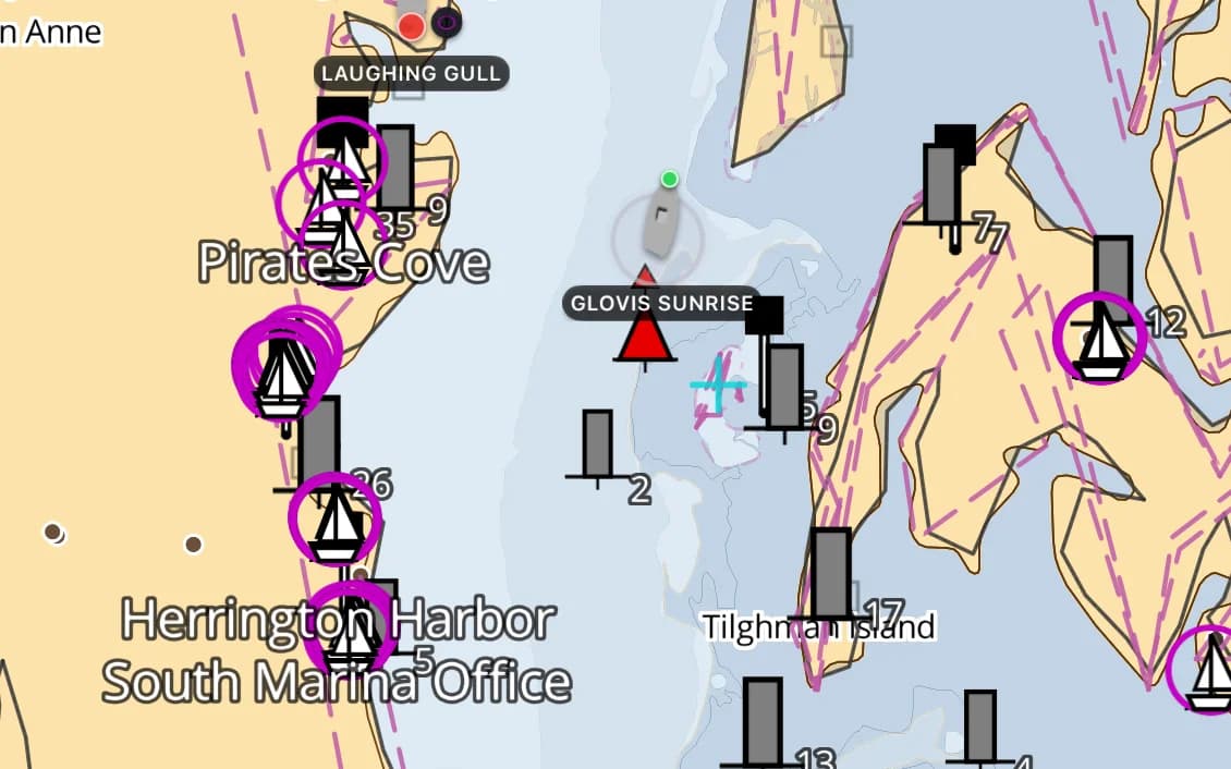
The Intracoastal Waterway
1,200 miles of protected inside passage — and a few cuts that shoal between dredgings. Draft awareness pays off.
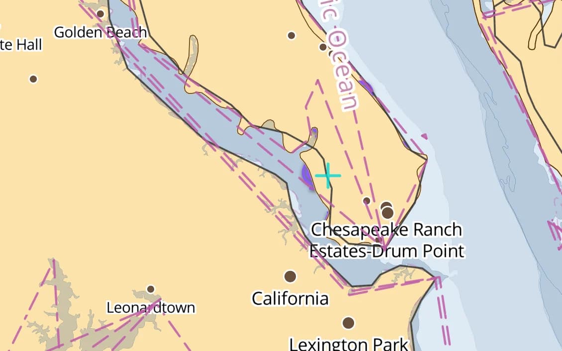
Chesapeake Bay
The East Coast's great cruising bay — Annapolis, the Eastern Shore, hundreds of creeks.
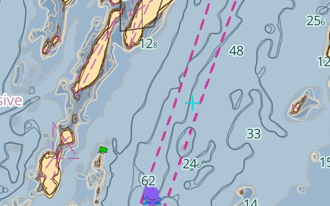
Maine & Penobscot Bay
Fog, lobster pots, and the finest island cruising in the Northeast.
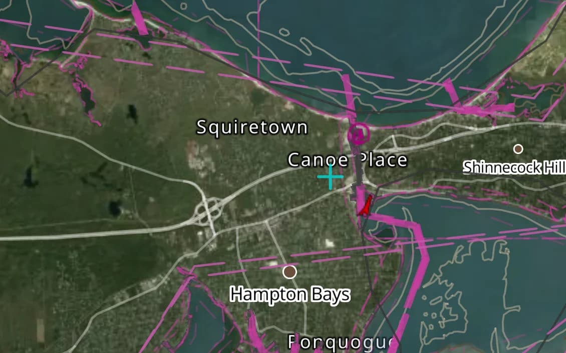
Long Island Sound
Newport to New York — protected, harbor-rich, and busy.
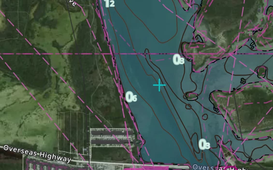
The Florida Keys
Thin water, reefs, and the jump-off to the Bahamas and Caribbean.
Popular harbours & anchorages
A few of the spots US East & ICW sailors cruise — all charted in the pack.
- Newport
- Block Island
- Martha's Vineyard
- Nantucket
- Camden
- Bar Harbor
- Annapolis
- The Chesapeake
- Beaufort
- Charleston
- Savannah
- St. Augustine
- The Florida Keys
Cruising US East & ICW
Accurate ENC vector data is now the backbone of US East Coast navigation. This region carries the full survey-grade ENC suite from Maine to Florida, including the Intracoastal Waterway's shoaling cuts and the notorious trouble spots — Hell Gate, the Chesapeake's crab-pot mazes, the shifting Georgia sounds — with depth-aware routing tuned to your draft.
What’s inside the US East & ICW pack
Every layer our chart pipeline bakes for this region — yours for $14.99/year.
Nautica Day & Night charts
S-52 vector cartography styled for daylight and night watches.
Depth-aware routing
Route planning that respects your draft and the charted depths.
Seabed & holding
Charted seabed type and holding quality from S-57 substrate — know what you’re anchoring into.
Soundings & depth contours
Spot depths and contours across the whole region.
Tides & currents
Tidal heights and streams, bundled in.
Rocks, wrecks & hazards
Charted obstructions so you can plan a clean approach.
Harbours & anchorages
Marinas, harbours and anchorages along the coast.
Lights, buoys & beacons
Charted navaids with their light characteristics.
Fully offline
Download once over wifi; navigate with no signal.
Sources & accuracy
The US East & ICW pack is built from NOAA ENC + GEBCO + OSM SeaMarks, fused with community-verified rocks, wrecks and navaids. NOAA ENC · GEBCO 2025 · © OpenStreetMap contributors (ODbL)
- Survey-grade ENC
- 1,333 × 960 NM
- 3,970 MB
Charted by the United States government.
The US East & ICW pack is built from NOAA's official Electronic Navigational Charts — the federal survey data itself — fused with community-verified rocks, wrecks and navaids, then packed to work with no signal.
- NOAA ENC
- Official S-57 source
- Public domain
The source, not a copy
NOAA and USACE publish their charts as S-57 ENC cells. Our pipeline parses those cells directly, so depth areas, soundings, wrecks, rocks, channels and aids to navigation arrive as the hydrographers surveyed them — never traced off an image.
The paper chart is gone
NOAA finished cancelling its traditional paper and raster charts in January 2025. The ENC is now the only official US chart there is, which makes reading it properly the whole job rather than a bonus feature.
Public data, honest price
US government charts are public domain and carry no licence fee. That is why a US region is $14.99 a year flat — charts, depth-aware routing, tides and seabed included — instead of a chart licence billed on top of the app.
Government-charted regions
Source data: NOAA Office of Coast Survey and the US Army Corps of Engineers, in the public domain. AnchorQueen is an independent product, not affiliated with, endorsed by or certified by NOAA, USACE or any US government agency. Region packs are derived charts for situational awareness and do not replace the official charts a vessel is required to carry.
Anchoring in US East & ICW
AnchorQueen is an anchor-watch app first. Every US East & ICW chart carries seabed type and holding quality from official survey data, so you read the bottom before you drop the hook — then the anchor alarm watches your swing while you sleep.
Auto-renewing, billed securely through your App Store account — no card forms, no separate logins. Cancel anytime.

On iPhone and iPad now — Android coming soon.
Cruising the whole app? Pro includes one region; Max includes three.
Questions
Does this replace official paper charts?
It's built on the same survey-grade ENC vector data that's replacing paper charts, rendered as offline S-52 charts with depth-aware routing — so you carry the official-grade charts plus the planning tools.
Does it cover the whole ICW?
Yes — the Intracoastal Waterway from Norfolk south, including the cuts and shoaling stretches, with routing that respects your draft.
Will it work offline along the coast?
Yes — download once and the charts, tides and routing work with no signal, which matters in Maine fog and the remote Georgia sounds.