 Your Intelligent Co-Captain, Always on Watch
Taiwan charts — built for how you actually cruise
Keelung to Kenting — the Kuroshio, the Taiwan Strait and the islands between.
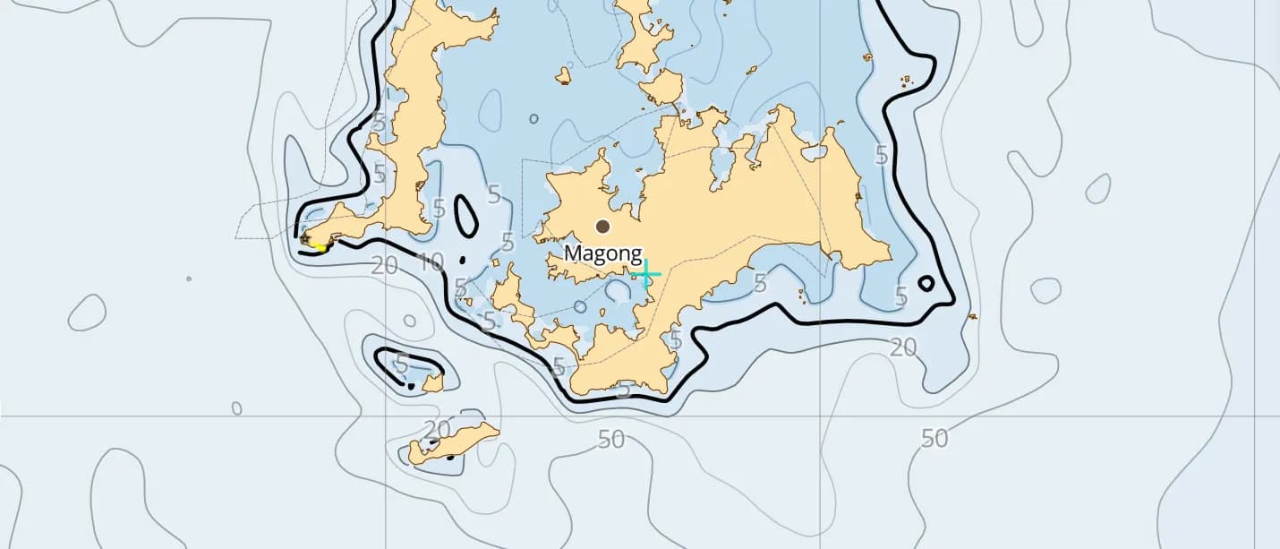
Popular sailing destinations
Where this region's sailors actually drop anchor.
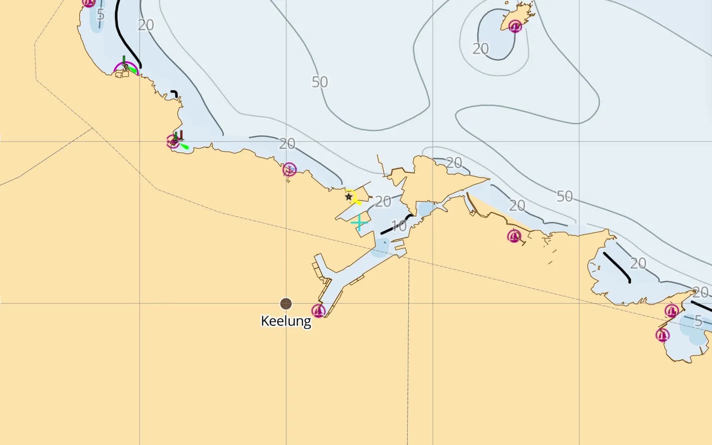
Keelung & the North Coast
Taiwan's northern port and a rugged coast of headlands and fishing harbours around Yehliu.
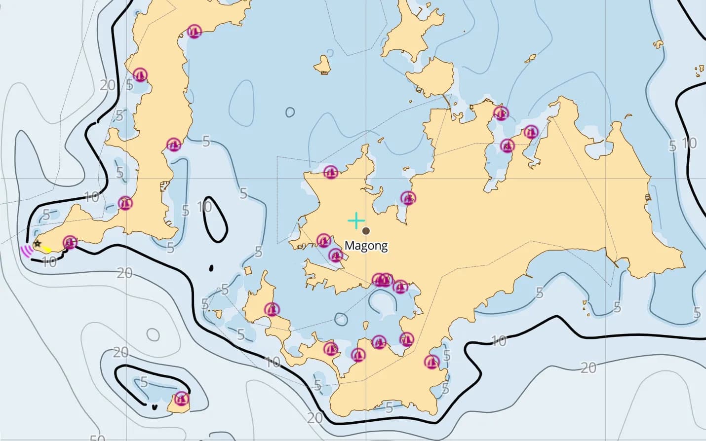
Penghu
Basalt islands in the Taiwan Strait — gentle summer sailing, fierce winter monsoon winds.
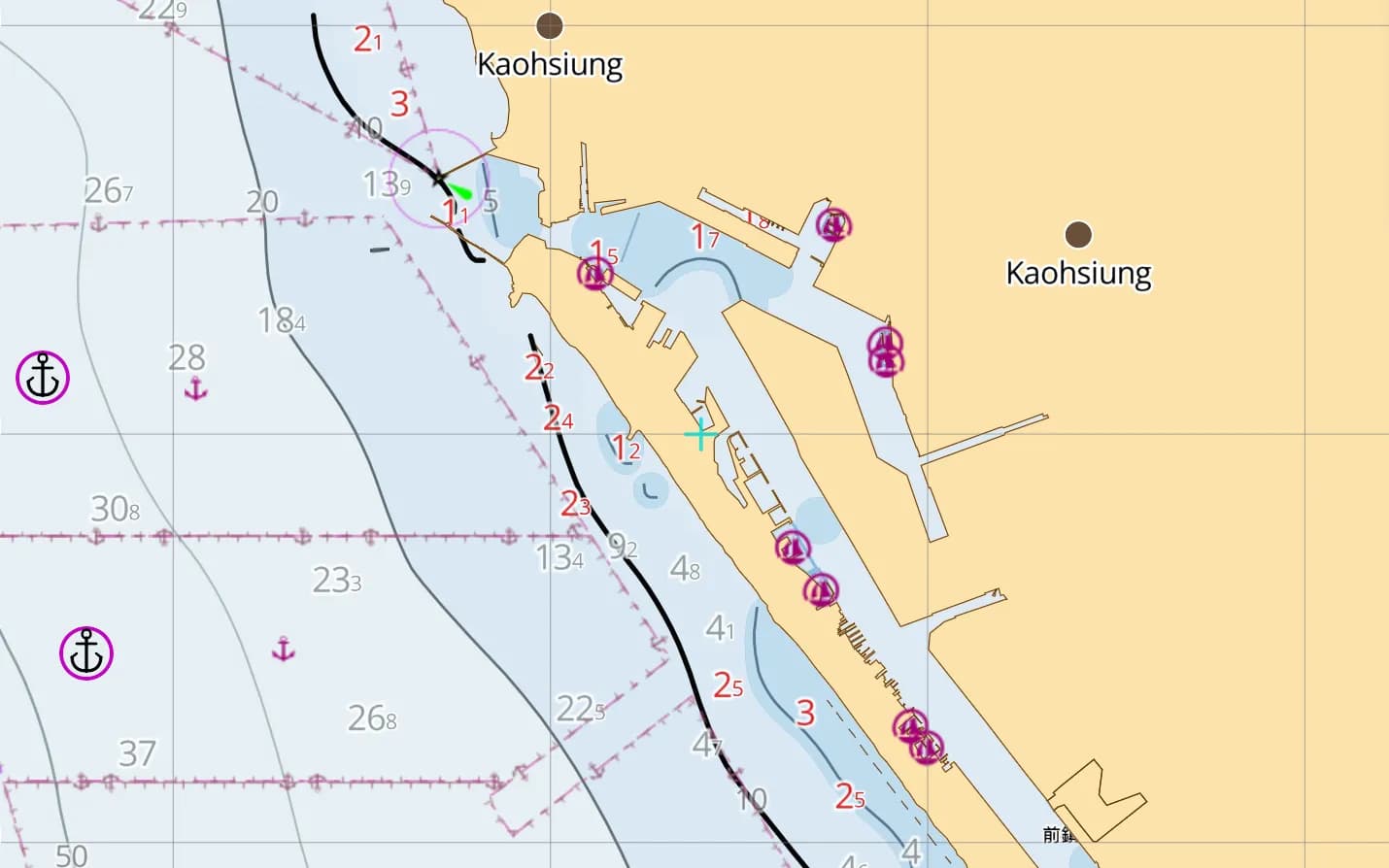
Kaohsiung
Taiwan's biggest port and southern hub, with the island's yacht-building industry on its doorstep.
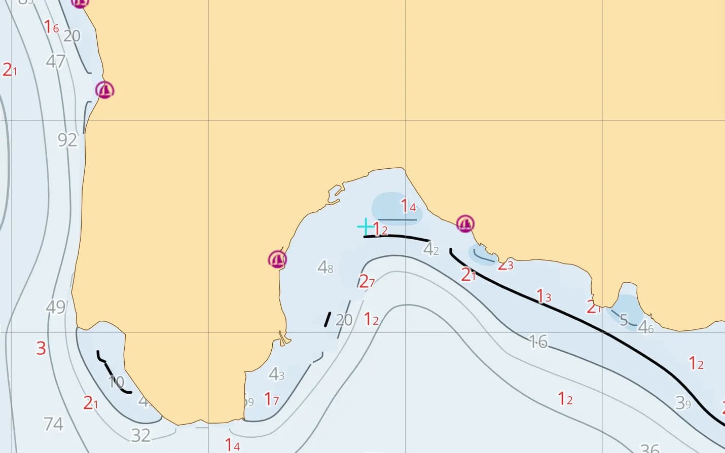
Kenting & Nanwan
Coral coast at the island's southern tip — clear water, reef and the fishing harbour at Houbihu.
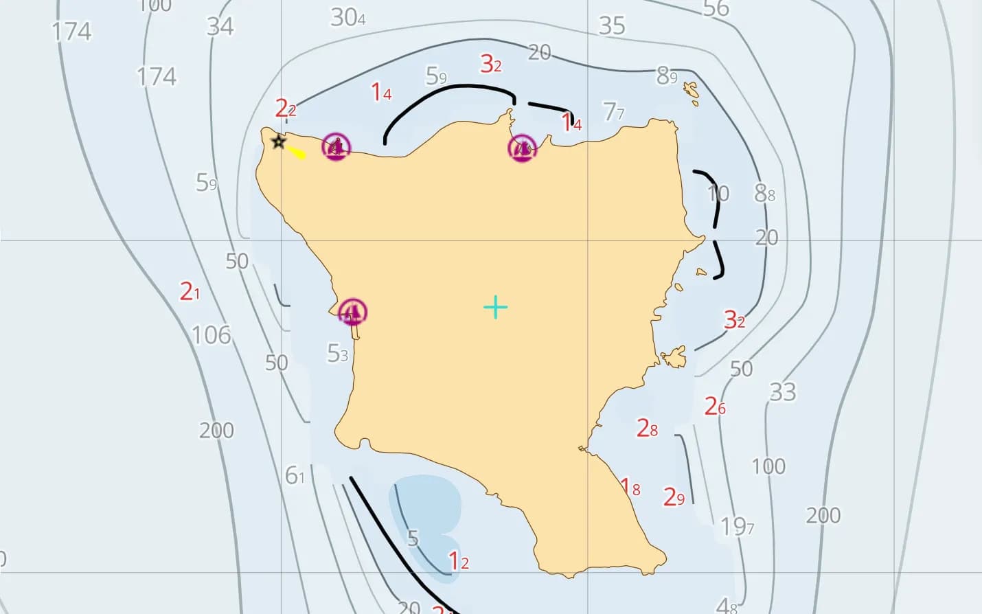
Green Island & Orchid Island
Volcanic islands off the east coast, reached across the Kuroshio — reef, hot springs and open ocean.
Popular harbours & anchorages
A few of the spots Taiwan sailors cruise — all charted in the pack.
- Keelung
- Tamsui
- Taichung
- Anping
- Kaohsiung
- Houbihu
- Nanwan
- Magong
- Green Island
- Orchid Island
- Hualien
- Su'ao
- Kinmen
- Matsu
Cruising Taiwan
Taiwan is an emerging cruising ground with a demanding character: the Kuroshio sweeps north along the east coast at several knots, the winter northeast monsoon raises a steep, short sea in the Taiwan Strait, and typhoons threaten from summer into autumn. Heavy shipping and dense fishing activity — nets, fish farms and poorly lit boats — call for a careful watch. Depth comes from GMRT bathymetry, with community-mapped navaids, anchorages, marinas and hazards. This region covers Taiwan, Penghu, Kinmen and Matsu, Green and Orchid Islands, and their approaches.
What’s inside the Taiwan pack
Every layer our chart pipeline bakes for this region — yours for $14.99/year.
Nautica Day & Night charts
S-52 vector cartography styled for daylight and night watches.
Depth-aware routing
Route planning that respects your draft and the charted depths.
Seabed & holding
Charted seabed type and holding quality from S-57 substrate — know what you’re anchoring into.
Soundings & depth contours
Spot depths and contours across the whole region.
Tides & currents
Tidal heights and streams, bundled in.
Rocks, wrecks & hazards
Charted obstructions so you can plan a clean approach.
Harbours & anchorages
Marinas, harbours and anchorages along the coast.
Lights, buoys & beacons
Charted navaids with their light characteristics.
Fully offline
Download once over wifi; navigate with no signal.
Sources & accuracy
The Taiwan pack is built from GMRT + OSM SeaMarks, fused with community-verified rocks, wrecks and navaids. GMRT · © OpenStreetMap contributors (ODbL)
- High-res bathymetry
- 247 × 330 NM
- 149 MB
Anchoring in Taiwan
AnchorQueen is an anchor-watch app first. Every Taiwan chart carries seabed type and holding quality from official survey data, so you read the bottom before you drop the hook — then the anchor alarm watches your swing while you sleep.
Auto-renewing, billed securely through your App Store account — no card forms, no separate logins. Cancel anytime.

On iPhone and iPad now — Android coming soon.
Cruising the whole app? Pro includes one region; Max includes three.
Questions
When is the best time to sail around Taiwan?
The gentlest window usually falls in spring, between the winter monsoon and the typhoon season. From autumn through winter the northeast monsoon makes the Taiwan Strait and Penghu rough, and typhoons are most likely from summer into early autumn.
Does it cover Penghu and the outlying islands?
Yes — Penghu, Kinmen, Matsu, Green Island and Orchid Island are all included, along with the full coast of Taiwan.
Will it work offshore without signal?
Yes — fully offline once downloaded, so the chart keeps working across the Strait and out to the eastern islands.