
 Anchor Alarm
Black Sea charts — built for how you actually cruise
Turkey's north coast to the Georgian shore — the quiet sea.
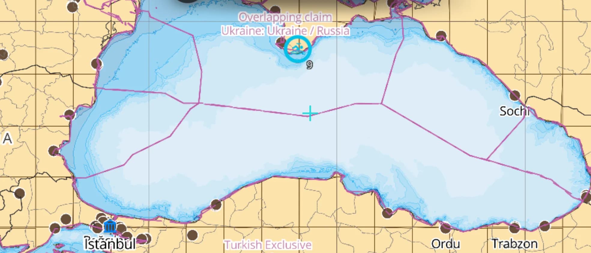
Popular sailing destinations
Where this region's sailors actually drop anchor.
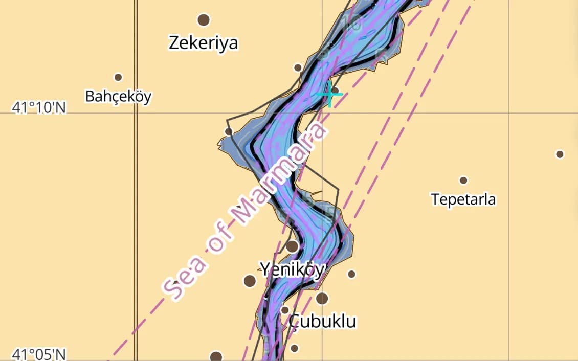
Bosphorus & Istanbul
The gateway between two seas — strong currents, big-ship traffic, and one of the world's great harbours.
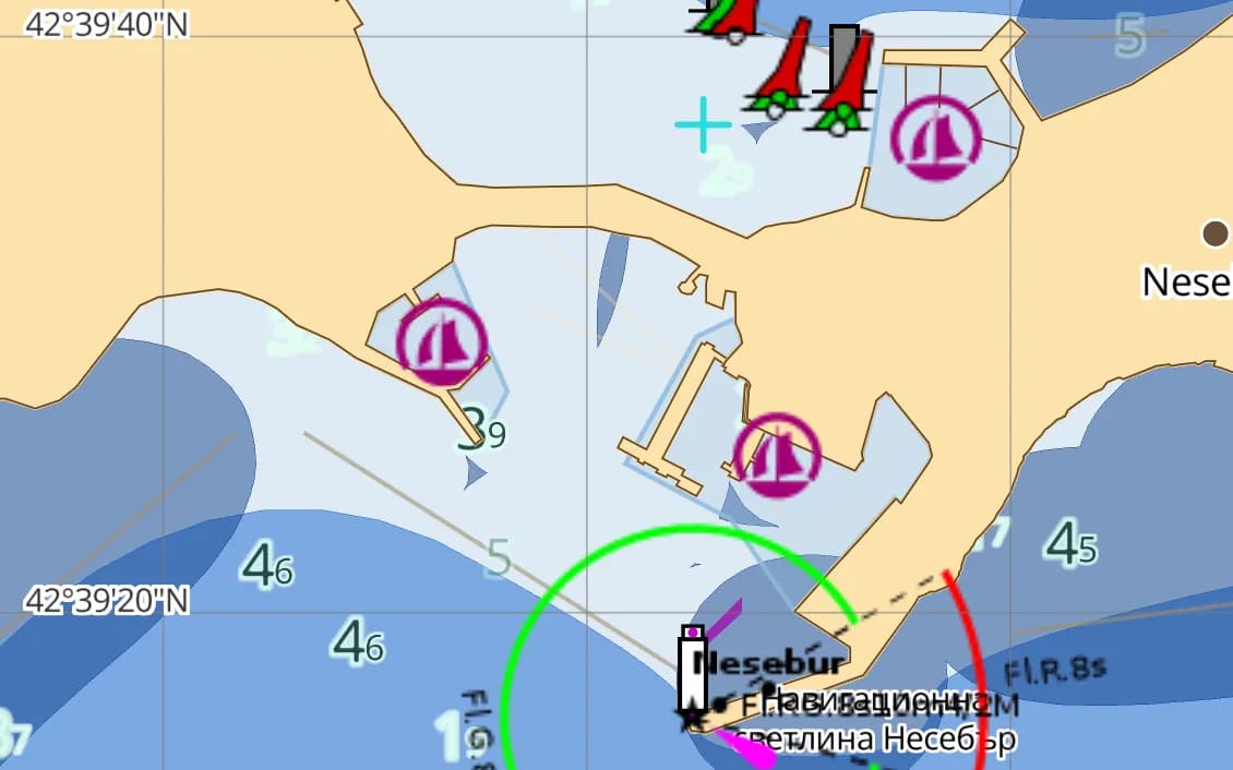
Bulgarian Riviera — Nessebar & Sozopol
Ancient peninsular towns, sandy bays, and the Black Sea's most developed cruising coast.
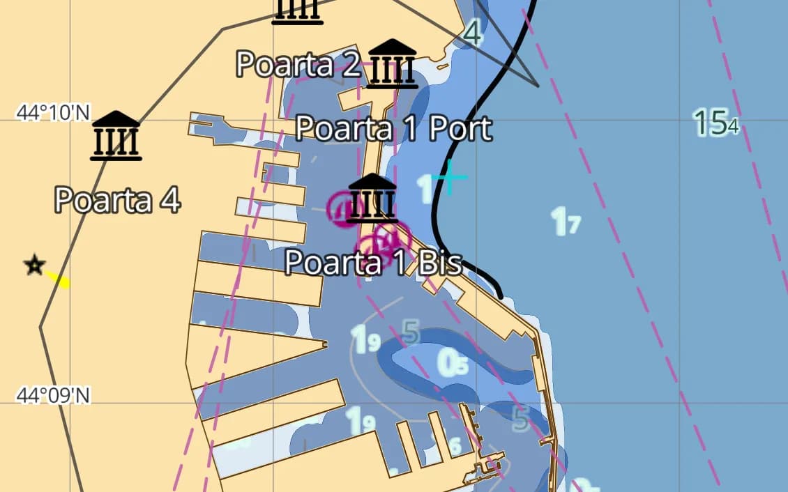
The Romanian coast & Danube delta
Constanța and the vast, bird-rich delta where Europe's second river meets the sea.
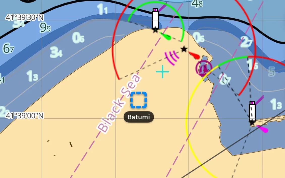
Batumi, Georgia
The Caucasus rising behind a modern marina — the sea's eastern frontier.
Popular harbours & anchorages
A few of the spots Black Sea sailors cruise — all charted in the pack.
- Istanbul
- The Bosphorus
- Nessebar
- Sozopol
- Varna
- Constanța
- The Danube Delta
- Odesa
- Batumi
- Sinop
- Amasra
Cruising Black Sea
The Black Sea is the Mediterranean's quiet neighbour — fewer marinas, fewer crowds, and a coast most cruising guides barely cover. It rewards self-sufficient sailors: the Bulgarian Riviera's old towns, the Romanian Danube delta, the Turkish north coast's fishing harbours, and Georgia's Caucasus backdrop. Weather can build fast with little fetch warning, and good charts matter where pilot information is thin. This region covers the Turkish north coast, Bulgaria, Romania, Ukraine and Georgia, from the Bosphorus to Batumi.
What’s inside the Black Sea pack
Every layer our chart pipeline bakes for this region — yours for $14.99/year.
Nautica Day & Night charts
S-52 vector cartography styled for daylight and night watches.
Depth-aware routing
Route planning that respects your draft and the charted depths.
Seabed & holding
Charted seabed type and holding quality from S-57 substrate — know what you’re anchoring into.
Soundings & depth contours
Spot depths and contours across the whole region.
Tides & currents
Tidal heights and streams, bundled in.
Rocks, wrecks & hazards
Charted obstructions so you can plan a clean approach.
Harbours & anchorages
Marinas, harbours and anchorages along the coast.
Lights, buoys & beacons
Charted navaids with their light characteristics.
Fully offline
Download once over wifi; navigate with no signal.
Sources & accuracy
The Black Sea pack is built from EMODnet 2022 + OSM SeaMarks, fused with community-verified rocks, wrecks and navaids. EMODnet Bathymetry 2022 · © OpenStreetMap contributors (ODbL)
- High-res bathymetry
- 696 × 480 NM
- 410 MB
Anchoring in Black Sea
AnchorQueen is an anchor-watch app first. Every Black Sea chart carries seabed type and holding quality from official survey data, so you read the bottom before you drop the hook — then the anchor alarm watches your swing while you sleep.
Auto-renewing, billed securely through your App Store account — no card forms, no separate logins. Cancel anytime.

On iPhone and iPad now — Android coming soon.
Cruising the whole app? Pro includes one region; Max includes three.
Questions
Is the Black Sea well charted?
Pilot information is thinner here than the Med, which is exactly why offline ENC-grade charts and accurate hazards matter — built on full-coverage bathymetry fused with community-verified navaids.
Are there many marinas?
Fewer than the Med — Bulgaria and Georgia have the most developed facilities. The charts include the harbours and anchorages you'll rely on between them.
Does it include the Bosphorus approach?
Yes — the southern Black Sea and the Bosphorus approach are covered for the passage to or from the Aegean region.