Step off the pontoons of Westhaven Marina in central Auckland and you are immediately inside the Hauraki Gulf Marine Park (Tīkapa Moana)—more than 4,000 square kilometres of island-studded water shielded from open Pacific swell by the Coromandel Peninsula and the rugged 621-metre volcanic ridge of Great Barrier Island (Aotea). Within two hours of casting off under the Auckland Harbour Bridge, you can drop anchor off the volcanic cone of Rangitoto or among the vineyard bays of Waiheke Island; push thirty miles further northeast and you enter the deep, fjord-like drowned valleys of Port FitzRoy on Great Barrier, where mobile signal disappears and the night sky is an international dark-sky sanctuary.
This guide covers the Auckland marina hubs, a seven-day loop linking the inner and outer Gulf, biosecurity and anchoring rules to verify before you sail, spectator anchorages for Auckland's summer regatta calendar, and how to navigate the outer islands offline on official LINZ hydrographic data.
Quick facts & season
The Hauraki Gulf is a year-round cruising ground, with its peak charter and holiday window running from December through March (Southern Hemisphere summer). Prevailing winds are southwest to west (12–20 knots), alternating with afternoon northeast sea breezes. Occasional subtropical lows descending from the north between January and March bring strong easterlies and require moving to west-facing or landlocked harbours.
| Cruising overview | Auckland, Hauraki Gulf & Great Barrier Island (NZ) |
|---|---|
| Peak cruising season | December to March (summer & early autumn); settled autumn sailing into April |
| Prevailing wind | SW–W 12–20 kt and afternoon NE sea breeze; watch for NE gales when subtropical lows pass |
| Tidal range & streams | ~2.0 m to 3.2 m spring range at Auckland; strong streams in Colville & Cradock Channels (up to 3 kt) |
| Main marinas & bases | Westhaven (1,573 berths), Bayswater, Gulf Harbour (1,000+ berths), Half Moon Bay (500+ berths) |
| Official chart source | LINZ Hydrographic ENC + GEBCO (New Zealand North offline pack) |
| Charter listings | Compare Auckland & NZ boats on New Zealand yacht charter |
Auckland marinas & charter bases
Auckland's nickname—"City of Sails"—reflects the density of its waterfront infrastructure:
A 7-day itinerary: Inner Gulf, Coromandel & Great Barrier Island
This ~125 nm loop starts from Westhaven or Bayswater and balances sheltered island hops with one open-gulf crossing to Great Barrier Island. In strong northeast weather, you can keep the entire week inside the inner Gulf between Waiheke, Ponui, Coromandel Harbour and Kawau Island.
Sail down the Waitematā Harbour past Devonport and Bean Rock Lighthouse, then turn into Islington Bay, the sheltered channel tucked between the young volcanic lava fields of Rangitoto and pastoral Motutapu Island.
Thread past Motuihe Island along the north shore of Waiheke Island. In southerly winds, anchor off Oneroa or Matiatia; in westerlies, round Hook Point into Man O' War Bay on the eastern end of Waiheke, with a beachfront tasting room ashore.
Cross the Firth of Thames entrance to the western fjords of the Coromandel Peninsula. Te Kouma Harbour offers deep, landlocked mud-bottom bays surrounded by bush, while Coromandel Harbour sits beside historic gold-mining town ashore.
Time your departure with the tide through the Colville Channel (wind against a 2.5-knot ebb here raises steep seas) and make landfall in Tryphena Harbour (Puriri Bay or Shoal Bay) at the southern tip of Great Barrier Island.
Sail north up the sheltered western coast of Aotea and enter Port FitzRoy through the narrow Man-of-War Passage (check the chart for the central rock spire). Drop anchor in SmokeHouse Bay or Kiarara Bay beneath steep kauri-forested hills.
Cross the Cradock Channel (passing north of Little Barrier Island / Hauturu, a strictly protected nature reserve where landing is prohibited) to Kawau Island. Anchor in Mansion House Bay or deep inside Bon Accord Harbour to visit Governor Grey's historic 1862 Mansion House and see the peacocks and wallabies ashore.
Sail south past the Whangaparāoa Peninsula, pausing in settled conditions off Tiritiri Matangi (open sanctuary famous for native birdsong) before returning up the Rangitoto Channel to Auckland.
Creating the Route with Jules AI & Waypoint-by-Waypoint Breakdown
For the outer Hauraki Gulf passage from Westhaven Marina to Waiheke Island and Great Barrier Island (Aotea), ask Jules AI in AnchorQueen to build a depth-aware route with waypoints, tidal gate notes, and island stops:
Prompt to Jules AI: "Jules, create an outer Hauraki Gulf route from Westhaven Marina in Auckland to Waiheke Island and up to Port FitzRoy on Great Barrier Island (Aotea). List the waypoints and things to do."
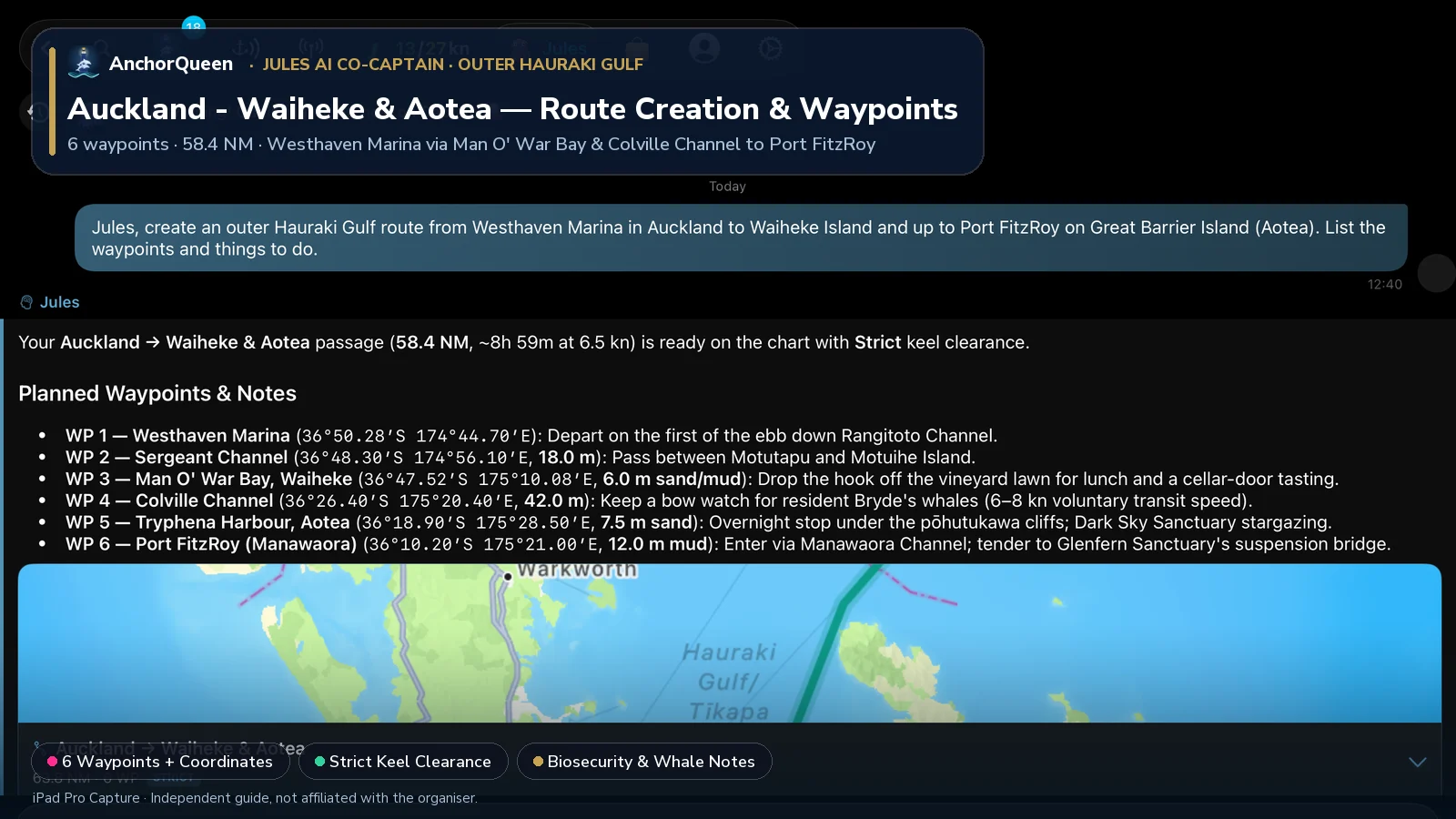
Planned Waypoints, Coordinates & Things to Do
| WP # | Waypoint & Coordinates | Course & Leg | Depth & Holding | Things to Do Ashore & On the Water |
|---|---|---|---|---|
| WP 1 | Westhaven Marina, Auckland36°50.28′S 174°44.70′E | Departure berth | 4.5 m marina | Provision at Wynyard Quarter, verify your Clean Below hull pass for Aotea, and slip lines on the first of the ebb down Rangitoto Channel. |
| WP 2 | Sergeant Channel (Motuihe)36°48.30′S 174°56.10′E | 078°T · 9.4 NM | 18.0 m channel | Thread the tidal gate between Motutapu and pest-free Motuihe Island; pause in Islington Bay to hike the summit trail up volcanic Rangitoto (260 m). |
| WP 3 | Man O' War Bay, Waiheke36°47.52′S 175°10.08′E | 086°T · 11.3 NM | 6.0 m sand/mud | Anchor off the eastern beachfront vineyard lawn on Waiheke Island; tender ashore for cellar-door wine tasting, olive groves, and coastal walks. |
| WP 4 | Colville Channel Transit36°26.40′S 175°20.40′E | 021°T · 22.7 NM | 42.0 m gulf | Cross with a fair tide; keep a bow lookout and observe the voluntary 6–8 kn transit speed for resident Bryde's whales (tohorā) and common dolphins. |
| WP 5 | Tryphena Harbour, Aotea36°18.90′S 175°28.50′E | 041°T · 9.9 NM | 7.5 m sand | First Great Barrier Island landfall (check current MPI Caulerpa permitted zones); walk Pah Beach, visit the stone-oven bakery, and stargaze under the International Dark Sky Sanctuary. |
| WP 6 | Port FitzRoy (Manawaora)36°10.20′S 175°21.00′E | 325°T · 10.6 NM | 12.0 m mud | Enter via Manawaora Channel; tie up the dinghy at Glenfern Sanctuary to walk the canopy suspension bridge, soak in Kaitoke Hot Springs, or hike Mt Hobson (Hirakimata, 621 m). |
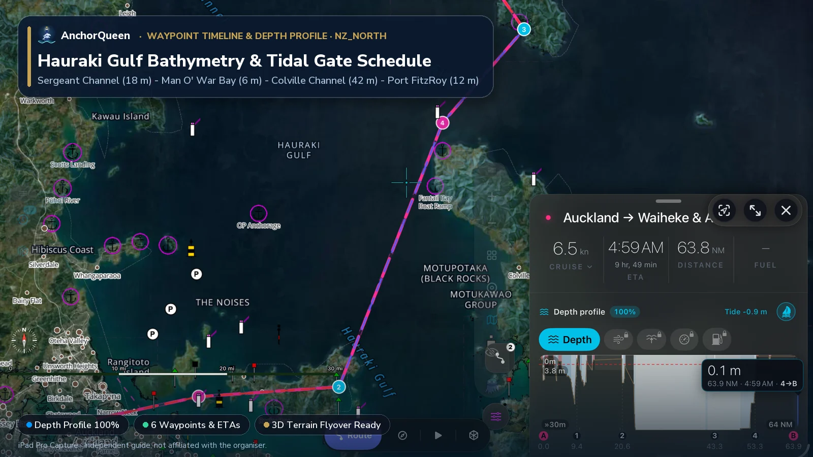
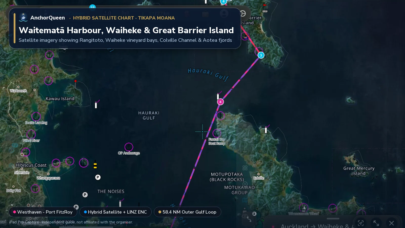
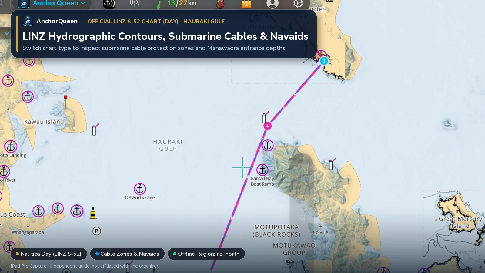
Switching Chart Types: Hybrid Satellite vs. Official LINZ S-52 Chart
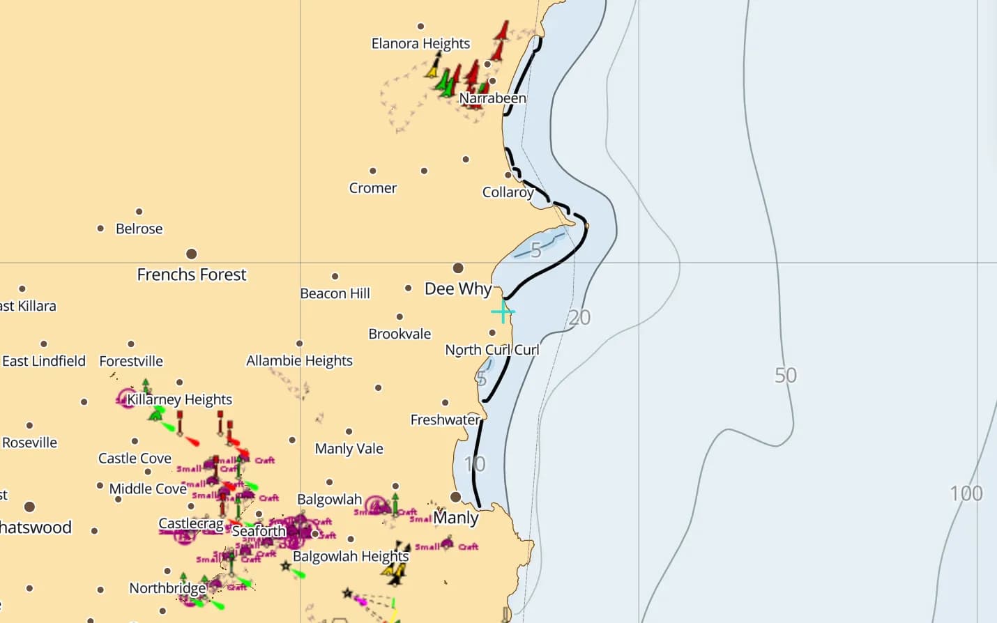
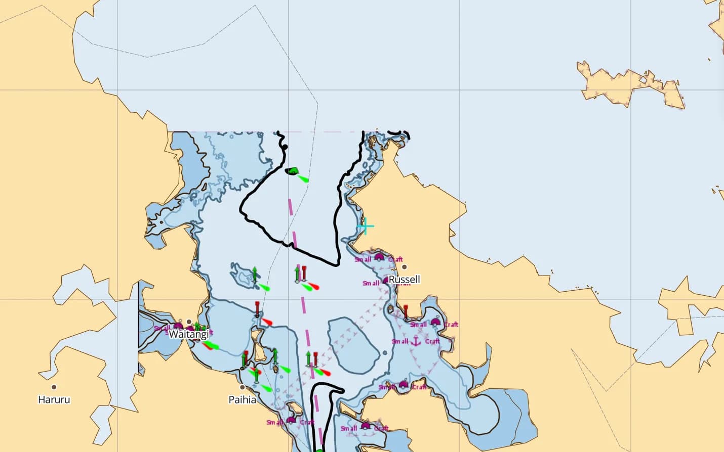
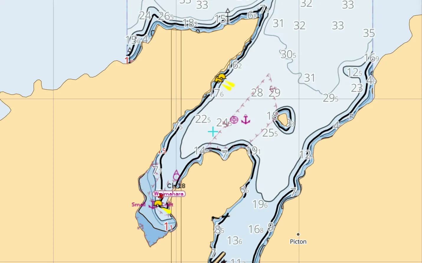
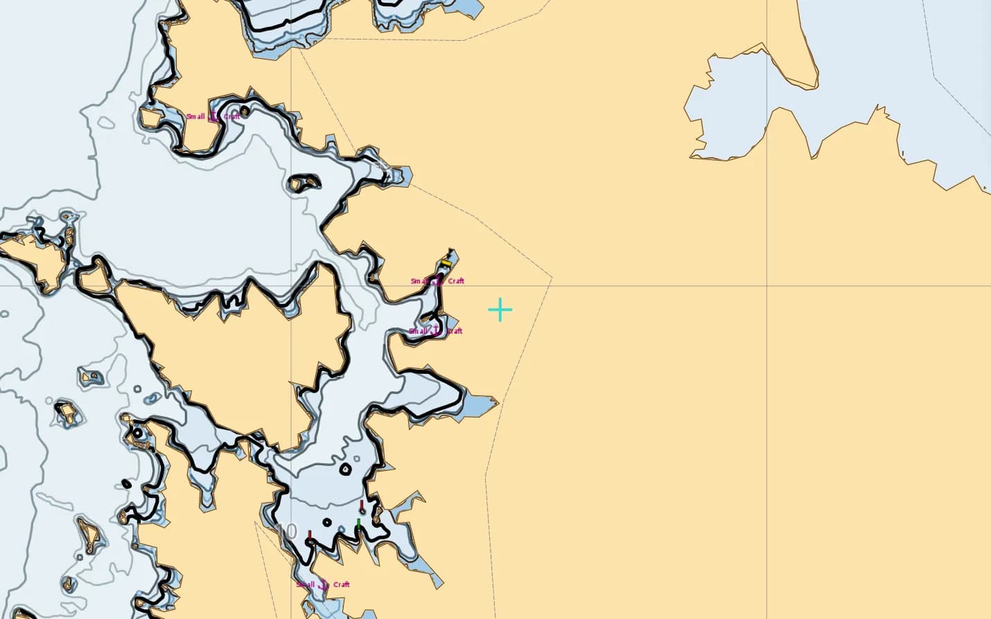
Toggling between satellite imagery and official LINZ vector charts gives you two complementary perspectives across the Hauraki Gulf:
3D Route & Terrain Flyover
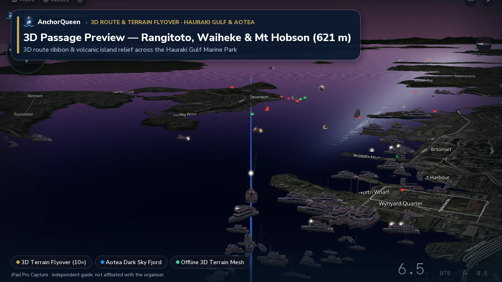
Tap 3D Terrain Flyover on the Route HUD to fly the passage in 3D from the Auckland Harbour Bridge past Rangitoto's volcanic cone and up the 621 m spine of Great Barrier Island:
Seamanship, biosecurity & local rules
1. Hull cleanliness & Exotic Caulerpa anchoring rules
Auckland Council, Waikato Regional Council and Biosecurity New Zealand (MPI) enforce strict marine pest rules across the Hauraki Gulf and Great Barrier Island:
2. Colville and Cradock Channel tidal streams
The three outer entrances to the Hauraki Gulf—Jellicoe Channel, Cradock Channel (between Little Barrier and Great Barrier) and Colville Channel (between Great Barrier and Cape Colville)—funnel strong tidal streams of 2 to 3 knots. When a 20-knot northeast swell meets an outgoing ebb tide in the Colville or Cradock Channel, steep breaking overfalls develop quickly. Time your crossing for slack water or a fair tide.
3. Submarine cables & commercial shipping lanes
The Rangitoto Channel is the main commercial highway into the Port of Auckland. Keep well outside the marked deep-water channel when container ships or cruise vessels are transiting, and note the extensive Submarine Cable & Pipeline Protection Zones running across the Gulf (particularly between Takapuna, Whangaparāoa, Waiheke and Great Barrier) where anchoring and fishing are strictly prohibited by law.
Auckland's 2027 summer regatta & boat show calendar
If you are cruising the Hauraki Gulf between January and April 2027, three major maritime dates bring fleets out onto the harbour (independent spectator notes—AnchorQueen has no official partnership or affiliation with these events):
Offline navigation & anchor watch with AnchorQueen
Once you tuck beneath the steep hills of Port FitzRoy on Great Barrier Island or the inner reaches of Te Kouma, cellular coverage drops out completely.
Download AnchorQueen free on the App Store · Android: join the Poseidon Android beta · Browse New Zealand yacht charters
Safety note
This guide is for planning only. Distances are approximate, biosecurity anchoring restrictions (including Exotic Caulerpa Controlled Area Notices) and Harbourmaster rules change, and conditions in the outer Hauraki Gulf can deteriorate rapidly. Always check current LINZ charts, Maritime NZ / Coastguard VHF broadcasts and Biosecurity New Zealand notices before you sail.