Por Qué las Alarmas de Fondeo Estándar Fallan de Noche: Deriva Predictiva y Seguridad Batimétrica
Descubra por qué las geocercas circulares causan falsas alarmas a las 3 AM y cómo el modelado de deriva predictiva garantiza su tranquilidad.

It is 03:30 AM in a crowded Mediterranean anchorage. The wind shifts 90 degrees as a thermal breeze rolls off the mountains. Suddenly, a piercing alarm shatters your sleep.
You leap out of the berth, rush into the cockpit into the rain, only to discover: your anchor hasn't dragged at all. Your boat merely swung naturally on its chain within its normal scope, crossing an arbitrary circular geofence set by a legacy anchor app.
Two hours later, exhausted, you turn the app off to get some sleep. That is precisely when real anchor dragging happens.
In this article, we break down why first-generation anchor apps fail mariners and how modern predictive drift algorithms, chain catenary modeling, and bathymetric grounding protection solve the anchor watch once and for all.
1. The Anatomy of False Alarms: The Swing Circle Fallacy
Most anchor alarm apps treat your boat as a static point inside a simple circular boundary centered on where you tapped "Set Anchor":
❌ Legacy Circle Alarm:
[ Alarm Fence ]
. - - - - - - - .
' ⚓ '
( (Drop Point) ) <-- Boat swings with wind shift
' | ' Crosses fence => FALSE ALARM!
. - - - ⛵ - - - .
Why This Fails in Real Conditions:
2. The AnchorQueen Solution: Predictive Drift Modeling
AnchorQueen's AnchorEngine state machine replaces primitive circular boundaries with a multi-factor hydrodynamic and geometric model:
✅ AnchorQueen Predictive Watch:
⚓ (Anchor Drop Location)
/
/ (True Catenary Scope)
/
⛵ [Vessel Vector & Velocity]
✓ Validates vessel speed towards anchor vs away
✓ Distinguishes circular pendulum swing from linear drag
✓ Evaluates rate of change of distance (dD/dt)
Key Differentiators:
* Velocity Vector Analysis: A boat swinging on its chain has a high angular velocity but near-zero radial velocity relative to the anchor. Real dragging exhibits sustained radial velocity away from the hook.
* Smart Noise Filtering: High-frequency GPS jitter is smoothed using an offline Kalman filter before evaluating drift boundaries.
* Dual-Stage Warning (Advisory vs. Critical): Instead of immediately blasting a full siren for momentary GPS excursions, AnchorQueen raises an amber Advisory and only sounds the critical alarm when sustained drag is mathematically verified.
3. Bathymetric Grounding & Hazard Warning
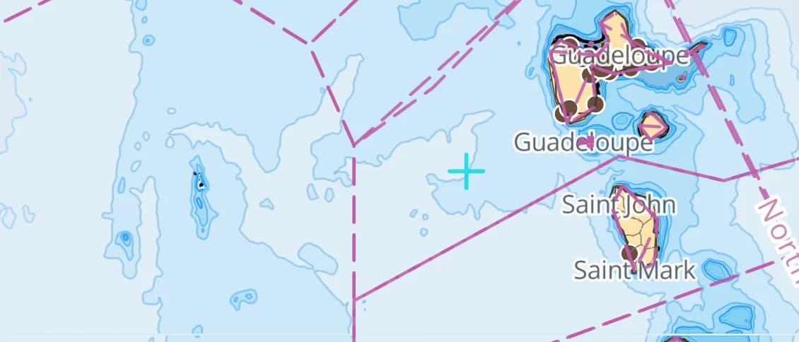
Dragging into deep water is dangerous; dragging toward a lee shore or shallow reef is catastrophic.
Unlike standalone alarm apps with zero chart awareness, AnchorQueen integrates S-52 vector ENC charts and high-resolution bathymetry:
4. Never Lose Watch: The OS-Level Geofence Safety Net
What happens if iOS terminates background processes due to high memory usage or battery conservation?
AnchorQueen implements a redundant CoreLocation OS-level Geofence region registered directly with iOS kernel services. Even if the main app is force-evicted from RAM during the night, the operating system itself wakes AnchorQueen up the moment the vessel leaves the safety perimeter, triggering the alarm.
5. Remote Anchorage Monitoring: Sleep Ashore with Peace of Mind
Heading ashore to a seaside taverna or exploring a coastal town?
AnchorQueen's Remote Anchor Relay streams real-time anchor telemetry to your secondary device via encrypted cloud synchronization:
* Live distance to anchor drop point
* Real-time wind speed and direction at the boat
* Instant push notification if an advisory or drag warning fires
Best Practices for Setting Anchor Watch
Captain Barkin Takmaz
Founder & Lead Marine Systems Engineer
Offshore sailor, marine systems researcher, and creator of AnchorQueen. Dedicated to bringing academic-grade bathymetric routing and predictive safety to modern mariners.
Suscríbete al Boletín Semanal del Capitán
Recibe tendencias de meteorología marina, consejos de fondeo y guías de navegación directamente a tu timón.
Navega más seguro con AnchorQueen en iOS e iPadOS
Disfruta de cartas batimétricas de alta resolución, diario SOLAS V/28 automatizado, alarmas de fondeo predictivas y el co-capitán IA Jules.
Lecturas recomendadas
Descubre más guías sobre navegación marina, seguridad y marinería.

Dominando el Registro de Travesías: Cómo el GPS en Segundo Plano y los Diarios SOLAS V/28 Protegen al Patrón
Descubra cómo el registro automático en segundo plano y los cuadernos digitales IMO SOLAS V/28 eliminan el papeleo.