

The Caribbean season is close. From the British Virgin Islands down to the Grenadines, the island chain offers short hops between anchorages, warm water and a choice of charter bases. This guide covers when to go, four classic one-week routes, the rules that catch first-time visitors out, and how to plan each leg on your phone before you fly.
Sejlerguider10 min læsetid•
Caribbean Sailing Guide 2026/27: Four One-Week Routes, Season and Planning
When to sail the Caribbean, four one-week routes from the BVI to the Grenadines on an interactive map, the mooring rules and park fees to know, and how to plan each leg in the free AnchorQueen app.
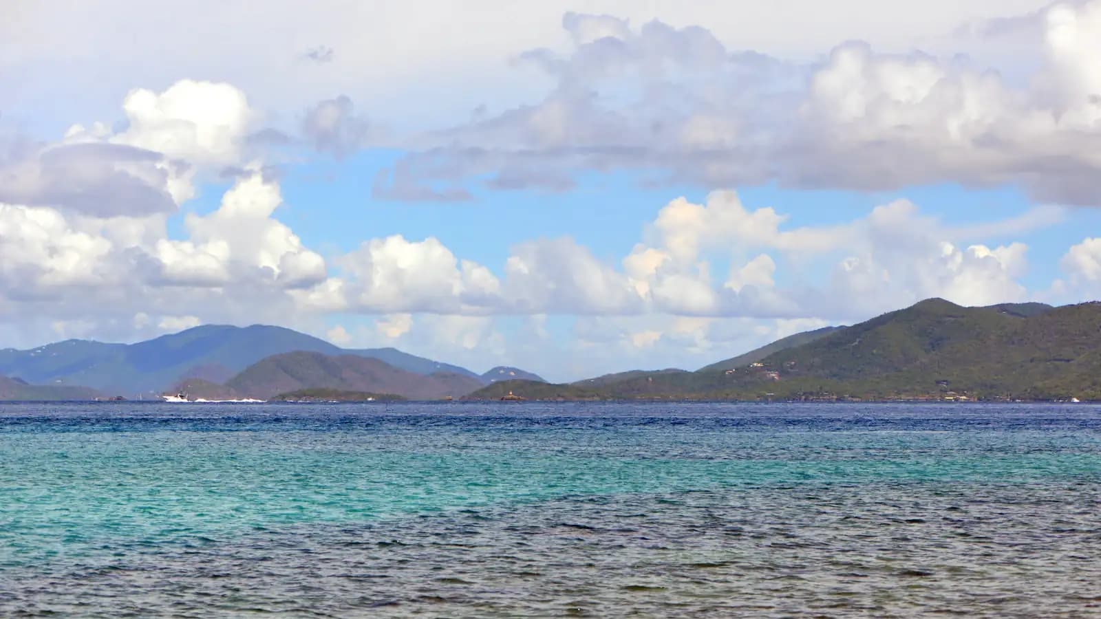
Foto: Karl Callwood · Unsplash License · Unsplash
Indholdsfortegnelse
The map shows the charter bases we list on our charter pages (sized by the number of boats) and the four routes in this guide. Lines are straight between stops, so a line may cross land: your sailing track will be longer.
When to sail
The main charter season runs through the northern winter and spring, when the trade winds blow mostly from the east and the hurricane season is over.
| Quick facts | |
|---|---|
| Hurricane season | 1 June to 30 November (NOAA National Hurricane Center) |
| Peak of the season | Around 10 September; most activity mid-August to mid-October |
| Main charter season | Roughly December to May, outside the hurricane season |
| Prevailing wind | Easterly trade winds; check the forecast for each crossing |
| Paperwork | Each island nation is its own country: clear in and out when you cross a border |
If you sail in June, July or November, follow the National Hurricane Center outlooks daily and agree a plan with your charter company before you leave the dock.
Route 1: The British Virgin Islands loop
About 56 nm straight-line in six legs, from Tortola. Short hops in sheltered water make this the usual first Caribbean charter.
Know before you go: the National Parks Trust moorings at dive and snorkel sites such as The Baths are for day use only, with a 90-minute limit, and a National Parks mooring permit is required by law. Foreign-flagged boats buy it at Customs when they clear in; charter boats usually get it from the charter company.
Route 2: Saint-Martin, St Barths and Anguilla
About 52 nm straight-line in five legs. One island, two countries: the French side (Saint-Martin) and the Dutch side (Sint Maarten), with St Barths and Anguilla a day sail away.
Know before you go: St Barths and Anguilla each have their own entry formalities. Clear in on arrival and out before you leave, and check current fees with the port authority of each island.
Route 3: Martinique to Saint Lucia
About 78 nm straight-line in five legs, with two open-water crossings between the islands. Expect Atlantic swell in the channel.
Know before you go: Martinique is part of France and Saint Lucia is an independent country, so you clear out and in on both sides. The coast around the Pitons is a managed marine area: use the moorings where they are required and check the current rules and fees on arrival.
Route 4: The Grenadines from St Vincent
About 74 nm straight-line in eight legs, from Blue Lagoon on St Vincent south to Union Island and back.
Know before you go: the Tobago Cays Marine Park charges an entry fee of XCD 15 per person per 24 hours and XCD 60 per 24 hours for a mooring (official fee notice, checked October 2026), payable online before you arrive. Saint Vincent and the Grenadines accepts SailClear, an optional online pre-arrival notice; the captain still reports to Customs and Immigration in person.
Plan every leg on your phone
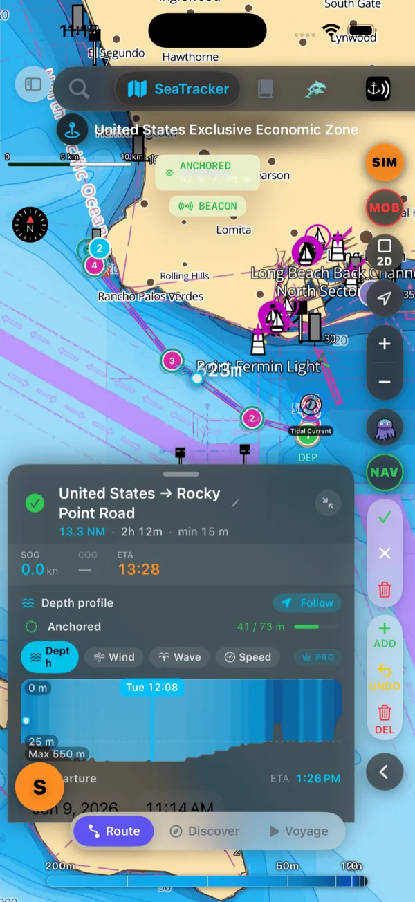
AnchorQueen is free to download. Before you fly, you can plan each leg of these routes in the app: see the depth along the route, the wind and waves on the way, and replay the passage in 3D.
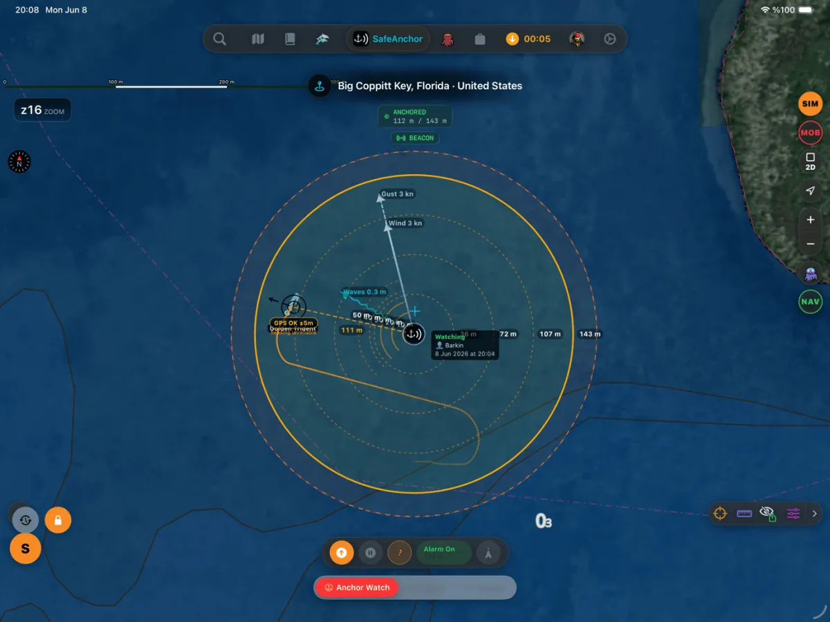
At anchor, the anchor watch is free on every plan. Set it when the anchor is down and the app alerts you if the boat leaves its swing circle.
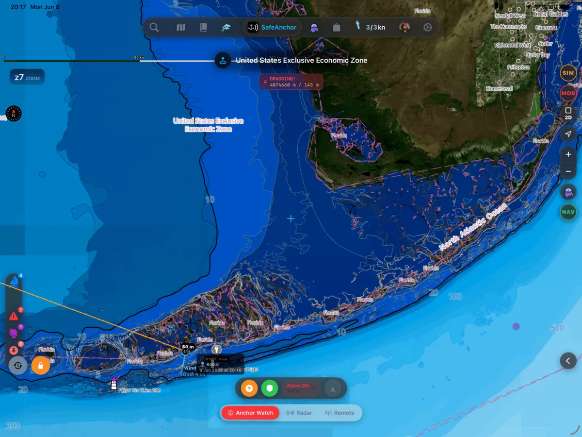
Ask Jules, the AI co-captain, about the next crossing in plain language. The Free plan includes a daily Jules allowance.
source=blog&utmmedium=article&utmcampaign=caribbean-2026" class="text-indigo-400 hover:text-cyan-400 font-medium underline decoration-indigo-500/30 transition-colors">Download AnchorQueen free on the App Store · Android: medium=article&utmcampaign=caribbean-2026" class="text-indigo-400 hover:text-cyan-400 font-medium underline decoration-indigo-500/30 transition-colors">join the beta · source=blog&utmmedium=article&utm_campaign=caribbean-2026" class="text-indigo-400 hover:text-cyan-400 font-medium underline decoration-indigo-500/30 transition-colors">See our current offers
Choosing a boat and a base
Catamarans make up most of the Caribbean charter fleet on our charter pages. Compare boats by base on our Caribbean charter page, then pick the route that starts closest to your base.
Safety note
This guide is for planning only. Distances are approximate, rules and fees change, and conditions at sea vary. Use official charts and local notices, follow the forecast and the instructions of local authorities, and keep a proper watch. An app supports your decisions; it does not replace them.
Captain Barkin Takmaz
Grundlægger & Ledende Maritim Systemingeniør
Langturssejler, maritim systemforsker og skaber af AnchorQueen.
📬 LOGBOGSNOTER
Tilmeld dig skipperens ugentlige nyhedsbrev
Modtag ugentlige vejrtrends til søs, tips til ankring og navigationsguider direkte til roret.
⚓ OPGRADER DIT ROR
Sejl mere sikkert med AnchorQueen på iOS & iPadOS
Højopløselige dybdekort, automatisk SOLAS V/28 logbog, prædiktive ankeralarmer og Jules AI-co-kaptajn.
Anbefalet læsning
Udforsk mere viden om maritim navigation, sikkerhed og sømandskab.
Sejlerguider
•12 min læsetid
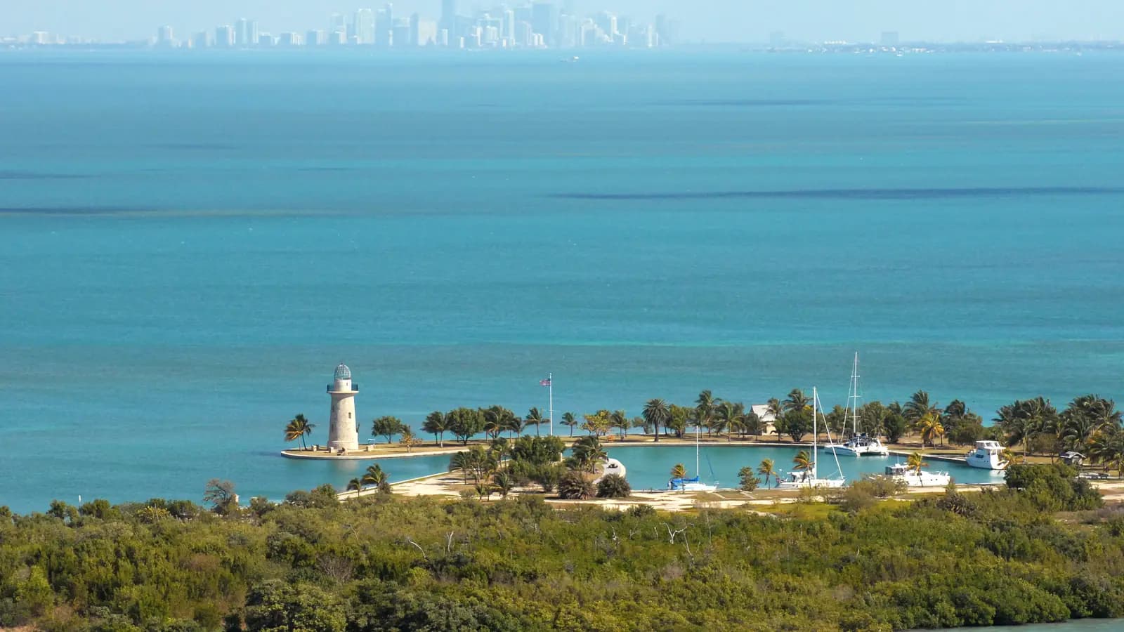
Sailing from Fort Lauderdale: A 7-Day Itinerary to Biscayne Bay and the Upper Keys
A practical week-long loop from Fort Lauderdale: Key Biscayne, Boca Chita and Elliott Key in Biscayne National Park, Card Sound and the Key Largo reefs, with daily legs, depths, anchorages and fees for each stop.
Sejlerguider
•12 min læsetid
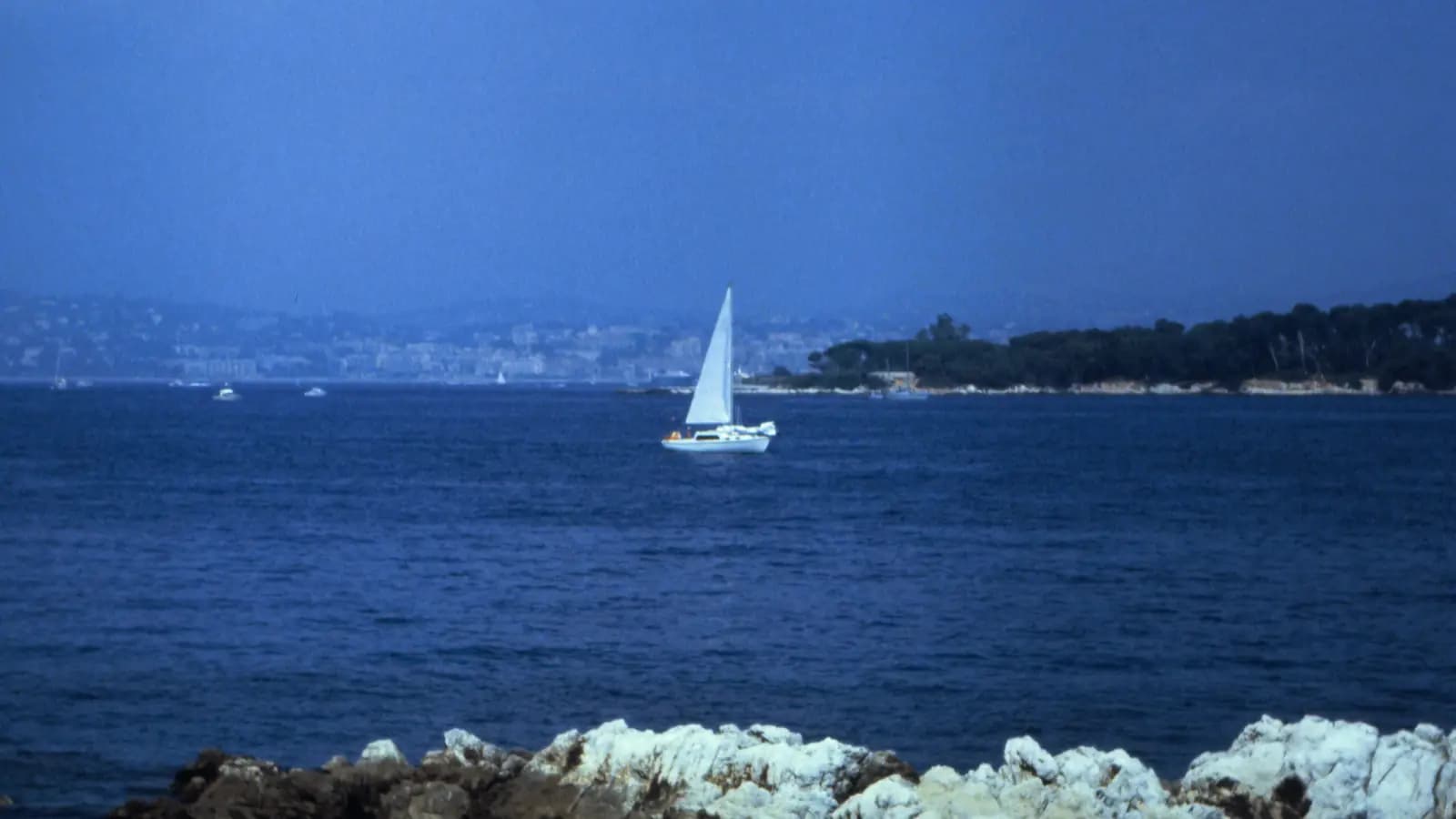
Sailing from Cannes: A 7-Day Itinerary to the Lérins Islands, the Esterel and Saint-Tropez
A practical week-long loop from Cannes: the Lérins Islands, Cap d’Antibes, the red Esterel coast, Saint-Tropez and Pampelonne, with daily legs, mooring zones, anchoring rules and tips for each stop.
Vandsport
•7 min læsetid
Vandsport: optag dine jetski-, kite-, jolle-, kajak- og svømmesessioner
AnchorQueen 2.4.6 optager sytten vandsportsgrene med spring, bølger, vendinger og åretag og giver personlige rekorder, dit eget udstyr i flåden, Apple Watch-optagelse, havliv nær dit spor og 3D-afspilninger med Trackcam.