US South & Gulf haritaları — gerçekte nasıl seyrettiğinize göre tasarlandı
Meksika Körfezi, Florida kıyısı ve Bahamalar'a açılış.

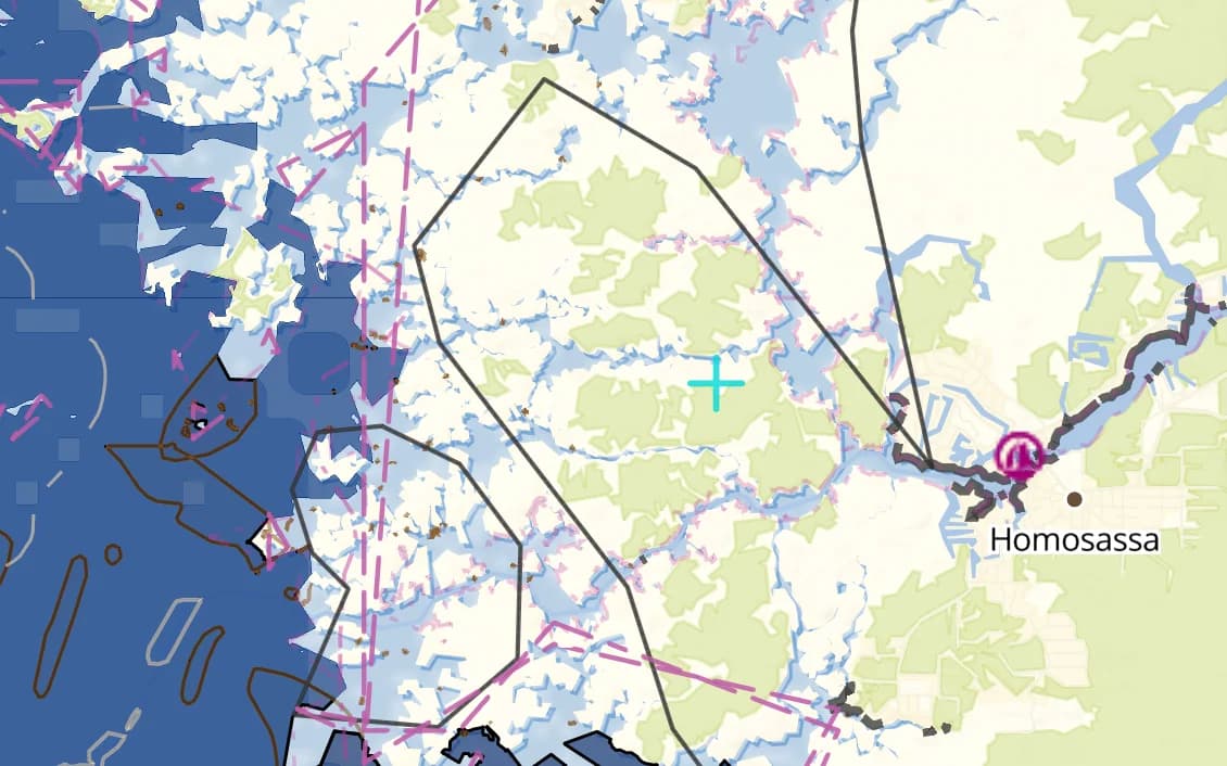
Popüler yelken rotaları
Bu bölgenin denizcilerinin gerçekten demir attığı yerler.
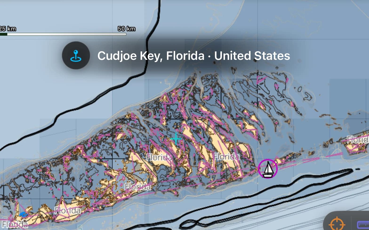
Florida Keys
Resif, sığlıklar ve Key West'e iniş — cam berraklığında ince suda göz kararı seyir.
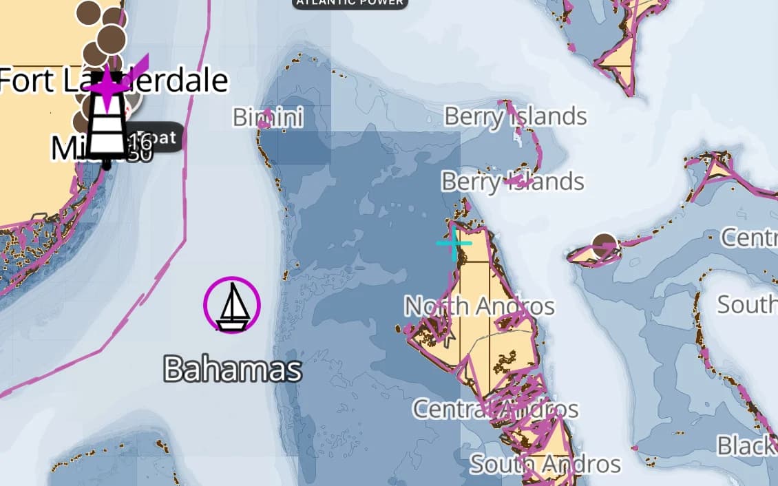
Bahamalar — Bimini ve Abacolar
Florida'dan banklara bir Körfez Akıntısı sıçraması; haritalanan derinlikler her şeydir.
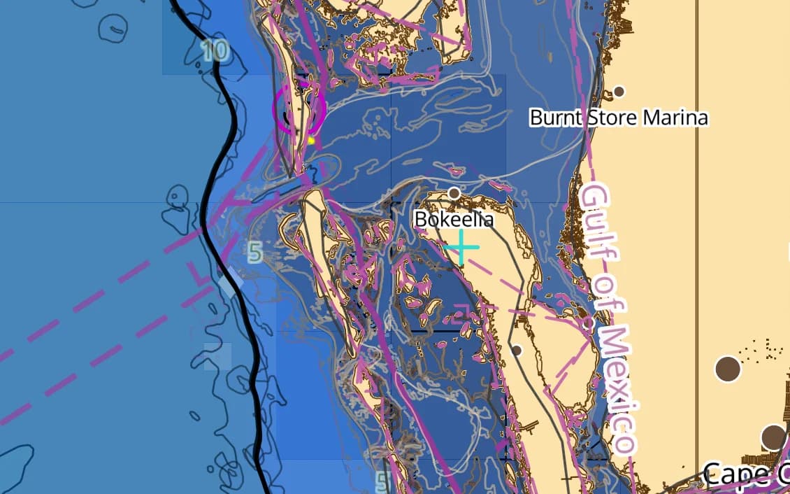
Florida Körfez Kıyısı
Tampa Körfezi, Sanibel ve batı kıyısının sakin bariyer adaları.
Dry Tortugas
Key West'in 110 km batısında uzak bir kale ve berrak su — gerçek bir açık deniz demir yeri.
Big Bend
Florida'nın vahşi, sığ bataklık kıyısı — az işaret, gerçek bir kendine güven.
Popüler limanlar ve demir yerleri
US South & Gulf denizcilerinin seyrettiği yerlerden birkaçı — hepsi pakette haritalandı.
- Key West
- The Dry Tortugas
- Marathon
- Tampa Bay
- Sanibel
- Pensacola
- Bimini
- The Abacos
- The Exumas
- Nassau
- Georgetown
US South & Gulf seyri
ABD Güney ve Körfez, sığ su ülkesi ve Bahamalar'a fırlatma rampasıdır. Florida Keys resif ve sığlıklara incelir, Körfez kıyısının Big Bend'i sığ bir bataklık çölüdür ve Bimini'ye Körfez Akıntısı geçişi rüzgâra göre zamanlanmış bir geçiş ritüelidir. Haziran'dan Kasım'a kasırga mevsimi takvimi belirler. Bu bölge Meksika Körfezi'ni, Florida kıyılarını ve Bahamalar yaklaşımını, ölçüm sınıfı haritalar ve açık denizde yüksek çözünürlüklü batimetri üzerinde kapsar.
US South & Gulf paketinin içinde ne var
Harita hattımızın bu bölge için hazırladığı her katman — yılda $14.99 karşılığında sizin.
Nautica Gündüz ve Gece haritaları
Gündüz ve gece nöbetleri için biçimlendirilmiş S-52 vektör kartografisi.
Derinlik bilinçli rotalama
Su çekiminize ve haritalanan derinliklere saygı duyan rota planlama.
Taban ve tutuş
S-57 zemin verisinden taban türü ve tutma kalitesi — neyin üzerine demir attığını bil.
İskandiller ve derinlik konturları
Tüm bölge boyunca nokta derinlikleri ve konturlar.
Gelgitler ve akıntılar
Gelgit yükseklikleri ve akıntılar, pakete dahil.
Kayalıklar, batıklar ve tehlikeler
Temiz bir yaklaşım planlayabilmeniz için haritalanan engeller.
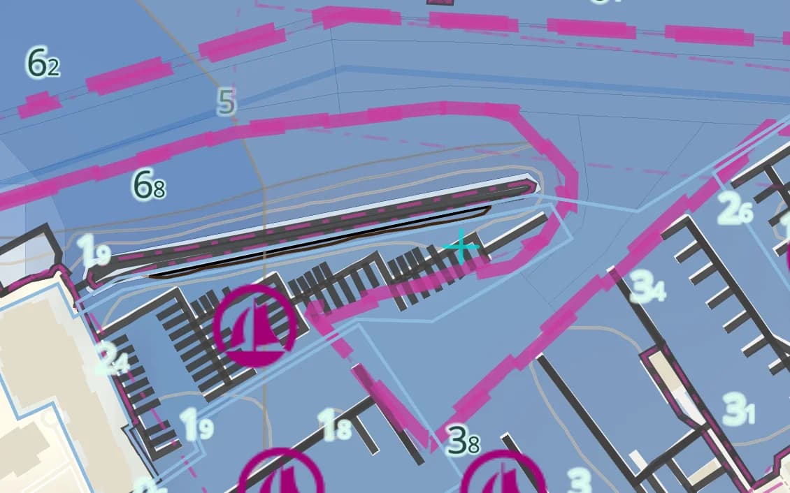
Limanlar ve demir yerleri
Kıyı boyunca marinalar, limanlar ve demir yerleri.
Fenerler, şamandıralar ve işaret fişekleri
Işık karakteristikleriyle birlikte haritalanan seyir yardımcıları.
Tamamen çevrimdışı
Bir kez wifi ile indirin; sinyal olmadan seyredin.
Kaynaklar ve doğruluk
US South & Gulf paketi NOAA ENC + GMRT + OSM SeaMarks kaynağından oluşturulur; toplulukça doğrulanmış kayalar, batıklar ve seyir yardımcılarıyla birleştirilir. NOAA ENC · GMRT · © OpenStreetMap contributors (ODbL)
- Hidrografik kalitede ENC
- 1,853 × 870 NM
- 3,610 MB
US South & Gulf bölgesinde demirleme
AnchorQueen her şeyden önce bir demir nöbeti uygulamasıdır. Her US South & Gulf haritası, resmî verilerden taban türünü ve tutma kalitesini taşır; böylece demir atmadan önce dibi okursun — sonra demir alarmı sen uyurken savrulmanı izler.
App Store hesabınız üzerinden güvenle faturalanan, otomatik yenilenen abonelik — kart formu yok, ayrı giriş yok. İstediğiniz zaman iptal edin.
Şimdi iPhone ve iPad’de — Android çok yakında.
Tüm uygulamada mı seyrediyorsunuz? Pro bir bölge içerir; Max üç bölge içerir.
Sorular
Bahamalar geçişini kapsıyor mu?
Evet — Florida kıyısı, Körfez Akıntısı yaklaşımı ve batı Bahama bankları; karşı taraftaki ince su için derinliğe duyarlı rotalamayla.
Körfez'in sığ suyu iyi haritalandı mı?
Yüksek çözünürlüklü batimetriyle ölçüm sınıfı haritalar üzerine kuruludur; sığlaşan Körfez kıyısına ve Keys sığlıklarına ayarlanmış derinliğe duyarlı rotalamayla.
Bir Bahamalar geçişinde çevrimdışı çalışır mı?
Evet — bir kez indirildikten sonra tamamen çevrimdışı, ki resifin ötesinde telefon kapsaması bittiğinde bu şarttır.