Caribbean Sea haritaları — gerçekte nasıl seyrettiğinize göre tasarlandı
Bahamalar'dan Grenadinler'e — gerçek bir harita isteyen, resiflerle dolu sular.

Popüler yelken rotaları
Bu bölgenin denizcilerinin gerçekten demir attığı yerler.
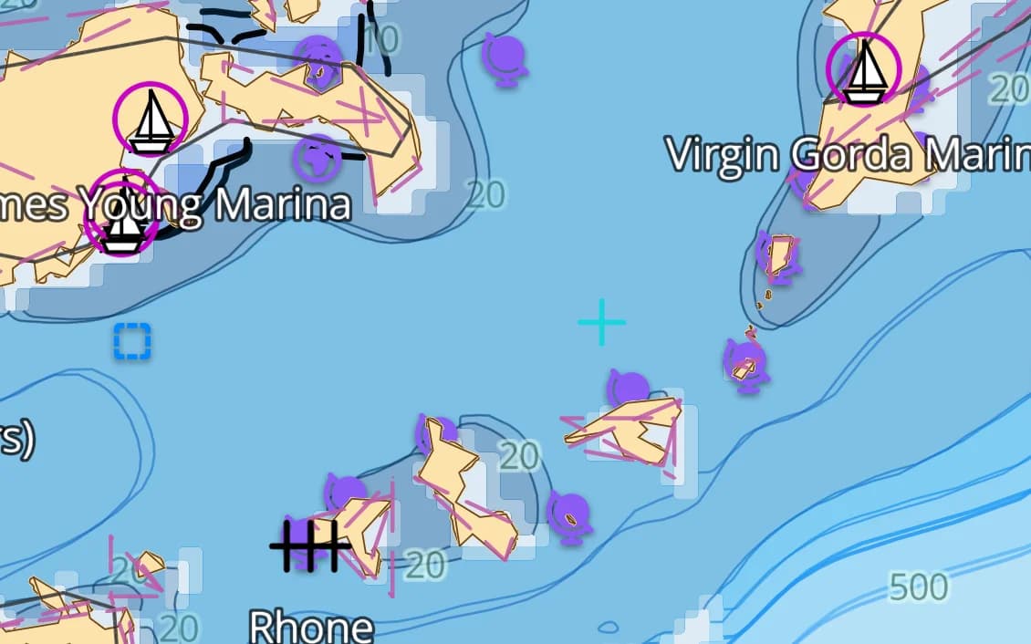
Britanya Virgin Adaları
Dünyanın en kolay görerek seyir sahası — ve en yoğun charter üssü. Her yerde bağlama şamandırası alanları.
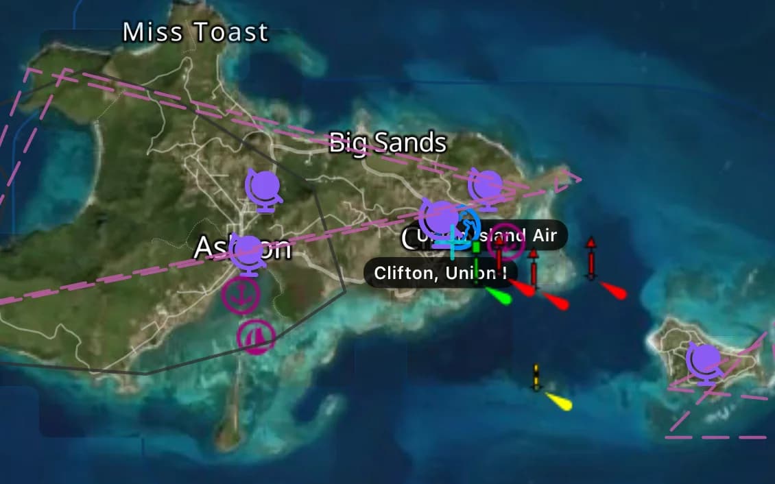
Grenadinler
Tobago Cays, Bequia, Mayreau — özenli kılavuzluğu ödüllendiren resif demir yerleri.
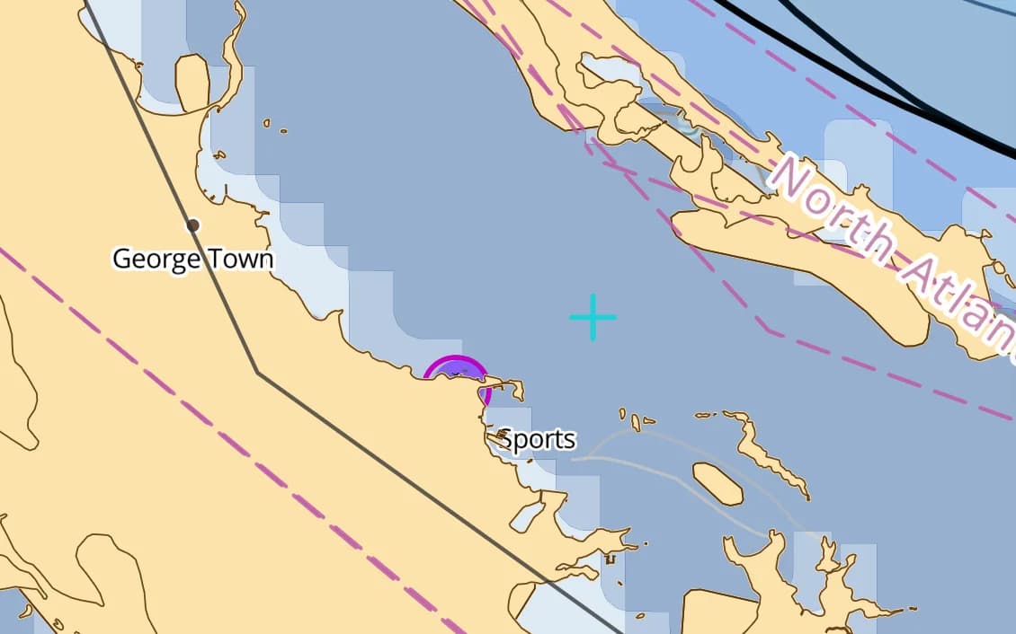
Exumalar, Bahamalar
Haritalanan derinliğin her şey olduğu cam berraklığında sığ banklar. Gelgit geçitleri sert akar.
St. Lucia ve Martinik
Pitons altında volkanik demir yerleri; ada zincirinde rahat bir orsa rüzgârı seyri.
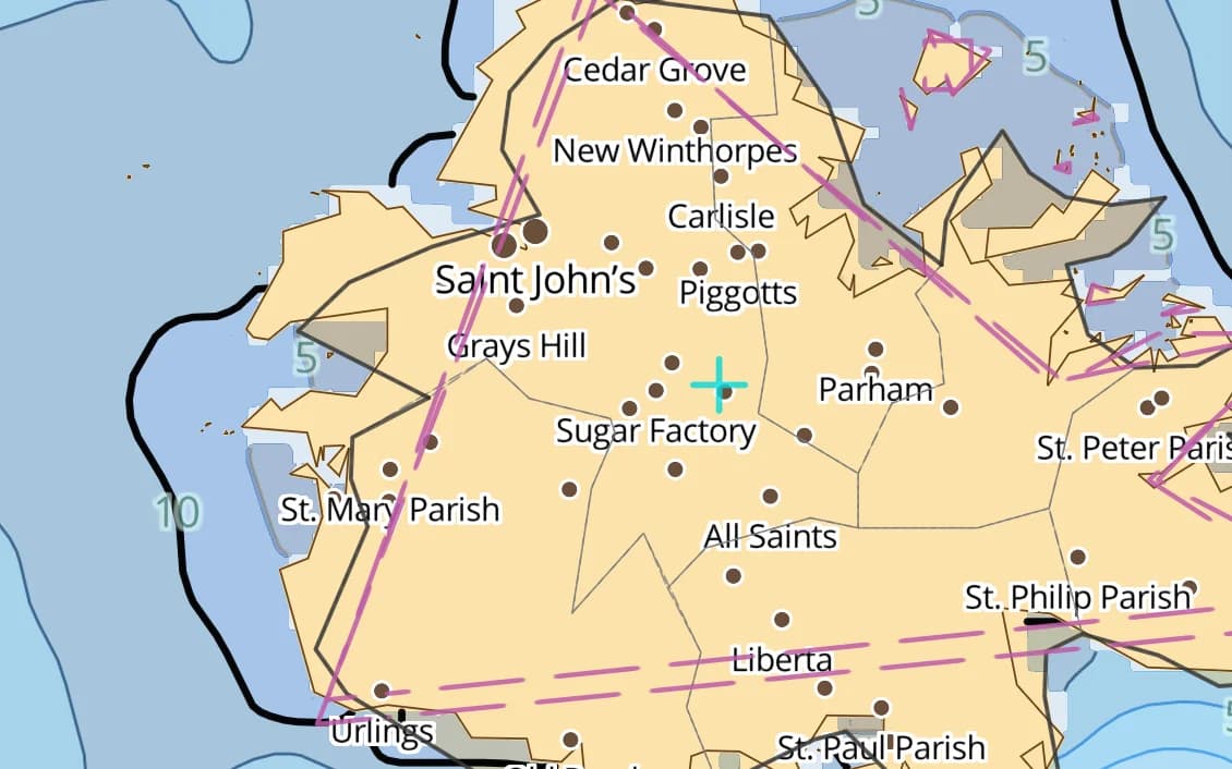
Antigua
English Harbour, Falmouth ve 365 plaj — doğu Karayip sezonunun merkezi.
Popüler limanlar ve demir yerleri
Caribbean denizcilerinin seyrettiği yerlerden birkaçı — hepsi pakette haritalandı.
- Tortola
- Virgin Gorda
- Jost Van Dyke
- Bequia
- Tobago Cays
- Union Island
- St. Lucia
- Martinique
- Antigua
- St. Barths
- Grenada
- Dominica
- The Exumas
- Nassau
- Bimini
Caribbean seyri
Karayipler resif ülkesidir ve kusursuz bir gün ile su alan bir tekne arasındaki fark çoğu zaman haritalanmamış tek bir mercan başıdır. Bu bölge Bahama sığlıklarını, Büyük ve Küçük Antiller'i ve Orta Amerika kıyısını kapsar; mevcut olan yerlerde ölçüm sınıfı haritalar, diğer yerlerde yüksek çözünürlüklü batimetri üzerine kuruludur. Son yaklaşımda hâlâ göz kararı seyir geçerlidir, ama derinliğe duyarlı rotalama ve doğru tehlikeler sizi geçide güvenle ulaştırır.
Caribbean paketinin içinde ne var
Harita hattımızın bu bölge için hazırladığı her katman — yılda $14.99 karşılığında sizin.
Nautica Gündüz ve Gece haritaları
Gündüz ve gece nöbetleri için biçimlendirilmiş S-52 vektör kartografisi.
Derinlik bilinçli rotalama
Su çekiminize ve haritalanan derinliklere saygı duyan rota planlama.
Taban ve tutuş
S-57 zemin verisinden taban türü ve tutma kalitesi — neyin üzerine demir attığını bil.
İskandiller ve derinlik konturları
Tüm bölge boyunca nokta derinlikleri ve konturlar.
Gelgitler ve akıntılar
Gelgit yükseklikleri ve akıntılar, pakete dahil.
Kayalıklar, batıklar ve tehlikeler
Temiz bir yaklaşım planlayabilmeniz için haritalanan engeller.
Limanlar ve demir yerleri
Kıyı boyunca marinalar, limanlar ve demir yerleri.
Fenerler, şamandıralar ve işaret fişekleri
Işık karakteristikleriyle birlikte haritalanan seyir yardımcıları.
Tamamen çevrimdışı
Bir kez wifi ile indirin; sinyal olmadan seyredin.
Kaynaklar ve doğruluk
Caribbean paketi NOAA ENC + GMRT + OSM SeaMarks kaynağından oluşturulur; toplulukça doğrulanmış kayalar, batıklar ve seyir yardımcılarıyla birleştirilir. NOAA ENC · GMRT · © OpenStreetMap contributors (ODbL)
- Hidrografik kalitede ENC
- 1,739 × 1,152 NM
- 1,180 MB
Caribbean bölgesinde demirleme
AnchorQueen her şeyden önce bir demir nöbeti uygulamasıdır. Her Caribbean haritası, resmî verilerden taban türünü ve tutma kalitesini taşır; böylece demir atmadan önce dibi okursun — sonra demir alarmı sen uyurken savrulmanı izler.
App Store hesabınız üzerinden güvenle faturalanan, otomatik yenilenen abonelik — kart formu yok, ayrı giriş yok. İstediğiniz zaman iptal edin.
Şimdi iPhone ve iPad’de — Android çok yakında.
Tüm uygulamada mı seyrediyorsunuz? Pro bir bölge içerir; Max üç bölge içerir.
Sorular
Karayip resifleri ve mercan başları haritalandı mı?
Tehlikeler, batıklar ve engeller ölçüm sınıfı haritalardan ve topluluk raporlarından dahil edilir, ama resifler yer değiştirir — son yaklaşımda daima gözcülük edin. Harita sizi geçide güvenle ulaştırır; son yüz metreyi gözleriniz halleder.
Bahama sığlıklarını kapsıyor mu?
Evet — sığ Bahama bankları, Exumalar ve geçitler kapsanır; ince suya saygı duyan derinliğe duyarlı rotalama ile.
Adalar arasında telefon sinyali olmadan çalışır mı?
Evet — bir kez indirildikten sonra tamamen çevrimdışı çalışır, ki bu da bir Karayip geçişinde olağan durumdur.