High-Resolution Bathymetry vs Standard ENC: Navigating Shallow Waters with Confidence
Explore the critical differences between official standard Electronic Navigational Charts (ENC) and high-density bathymetric vector tiles for shallow coastal cruising.

For decades, recreational and commercial navigators relied on official S-57 / S-52 Electronic Navigational Charts (ENCs) published by national hydrographic offices (such as NOAA, UKHO, and SHOM).
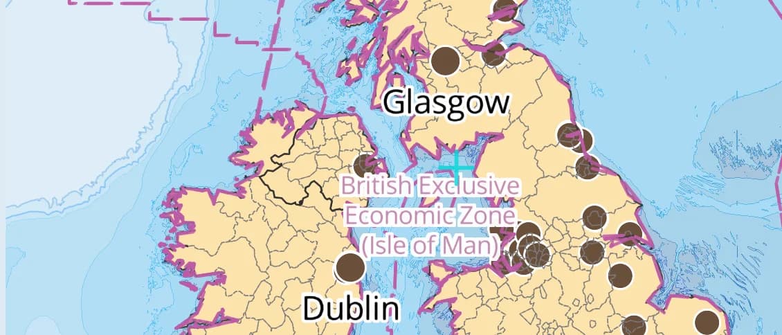
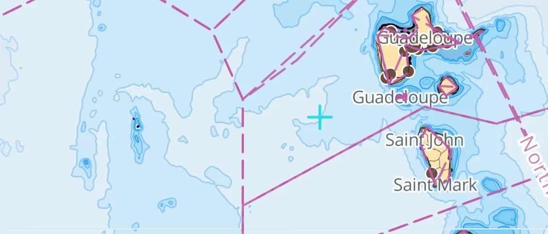
While ENCs are indispensable legal standards for commercial shipping, they were originally designed for deep-draft vessels sticking to marked shipping lanes. In shallow coves, coral atolls, and coastal archipelagos, standard ENCs often leave vast blank spaces between 5-meter and 10-meter depth contours.
In this deep-dive, we examine how high-resolution vector bathymetry bridges this gap and gives coastal cruisers confidence in shallow waters.
1. The Resolution Gap in Standard Charts
Consider anchoring in a protected cove in the Aegean Sea or the Bahamas:
Standard ENC Chart: High-Density Bathymetry:
==================== ========================
[ 20m Contour ] [ 20m Contour ]
| |
(Blank) [ 15m Contour ]
| [ 12m Contour ]
| [ 8m Contour ]
(Blank) [ 5m Contour ]
| [ 3m Sandbank ] ⚠️
[ 5m Contour ] [ 2m Coastline]
On a standard chart, a cruiser with a 2.1-meter draft sees an ambiguous zone between the 5-meter and 20-meter contours. A submerged rock pinnacle rising to 2.4 meters might only appear as an isolated sounding if surveyed decades ago.
High-density bathymetric tiles synthesize multi-beam sonar surveys, satellite-derived bathymetry (SDB), and calibrated hydrographic soundings to render continuous 1-meter and 0.5-meter depth contours.
2. Dynamic Depth Palettes: Clarity for Day & Night
Chart readability is not just about data density—it is about human perception under harsh sunlight and pitch-black night watches.
AnchorQueen features six specialized depth palettes:
* Nautica Day (IHO S-52 Compliant): High-contrast pastels tuned for direct sunlight readability in the cockpit.
* Nautica Night: Deep navy and charcoal base layers with red-shifted soundings to preserve the captain's night vision.
* NOAA Reverse Blue: Deep blue for deep water transitioning to white for shoals, matching traditional American paper charts.
* Safety Depth Highlight: Accentuates user-selected safety depth contours (e.g. 3.0m), turning anything shallower into a bold danger wash.
3. Real-Time Tide Reduction: MLLW to Live Water Depth
Chart soundings are always referenced to a chart datum—most commonly Mean Lower Low Water (MLLW) or Lowest Astronomical Tide (LAT).
If a chart says 2.0 meters, but the tide is currently +1.8 meters above MLLW:
* Actual water depth is 3.8 meters.
* 6 hours later at low tide, it will return to 2.0 meters.
AnchorQueen links high-resolution bathymetric soundings with over 8,000 live NOAA and international harmonic tide stations, providing real-time dynamic water depth under your keel throughout your voyage.
Summary
Never navigate shallow waters blind. Combining official S-52 navigational hazard data with multi-source high-resolution bathymetry ensures safe passage, optimal anchoring depth, and peace of mind on every cruise.
Captain Barkin Takmaz
Founder & Lead Marine Systems Engineer
Offshore sailor, marine systems researcher, and creator of AnchorQueen. Dedicated to bringing academic-grade bathymetric routing and predictive safety to modern mariners.
Εγγραφείτε στο Εβδομαδιαίο Δελτίο του Καπετάνιου
Λάβετε εβδομαδιαίες τάσεις καιρού, συμβουλές αγκυροβολίου και οδηγούς πλοήγησης κατευθείαν στο τιμόνι σας.
Πλεύστε με Ασφάλεια με το AnchorQueen σε iOS & iPadOS
Βαθυμετρικοί χάρτες υψηλής ανάλυσης, αυτοματοποιημένο ημερολόγιο SOLAS V/28, συναγερμοί άγκυρας και ο συγκυβερνήτης AI Jules.
Προτεινόμενα Άρθρα
Ανακαλύψτε περισσότερες συμβουλές ναυσιπλοΐας, ασφάλειας και ναυτοσύνης.
Εκμάθηση Καταγραφής Πλου: Πώς το GPS στο Παρασκήνιο & τα Ημερολόγια SOLAS V/28 Προστατεύουν τους Καπετάνιους
Ανακαλύψτε πώς η αυτοματοποιημένη καταγραφή πλου στο παρασκήνιο και τα ψηφιακά ημερολόγια IMO SOLAS V/28 εξαλείφουν τη γραφειοκρατία.
Γιατί οι Συνηθισμένοι Συναγερμοί Άγκυρας Αποτυγχάνουν τη Νύχτα: Προληπτική Παρακολούθηση & Βαθυμετρική Ασφάλεια
Μάθετε γιατί οι απλοί κυκλικοί συναγερμοί χτυπούν άσκοπα στις 3 π.μ. και πώς ο έξυπνος υπολογισμός προστατεύει το σκάφος σας.

Marine Weather & Meteogram Mastery: Decoding NOAA & Open-Meteo for Safe Cruising
How to interpret GFS, ECMWF, and high-resolution coastal wind models to plan comfortable passages and avoid dangerous lee shores.